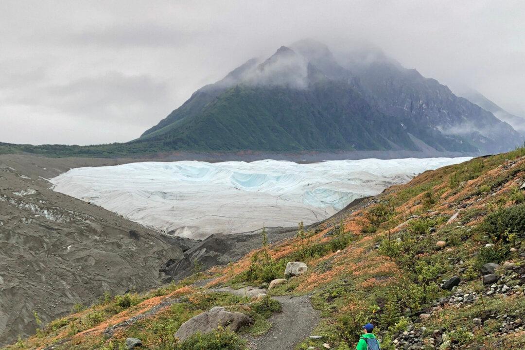
With springtime’s warmer temperatures, Americans are once again turning their attention to getting away in the great outdoors. That shared urge encompasses everything from the solo hiker in search of peaceful solitude in Mother Nature’s soothing embrace to whole families who are in need of a fresh-air escape and some fun activities away from the daily grind.
National parks are one of the public’s greatest resources when looking to immerse ourselves in remote natural surroundings, view wildlife in its native habitat, or experience important cultural and historic sites firsthand. Unfortunately, not many of us are intimately acquainted with their layout or how to readily locate the best attractions, amenities, and accessible pathways.
These days, many U.S. travelers rely on Google Maps to help them get where they’re going, but when it comes to depictions of the nation’s parks and protected, there is hardly any detail available. For the most part, park interiors appear as a solid blob of green representing the wilderness or uncharted grounds contained within outer park boundaries.
That is, until now. Four fresh updates are arriving on Google Maps for iOS and Android devices, offering enhanced accessibility to onsite information for visitors exploring U.S. national parks and more accurate directions to the popular locations within park limits.
“After visiting 24 of the 63 U.S. national parks, I know how rewarding it can be to explore the outdoors—whether it’s getting out into nature with my kids or soaking up stunning views on long hikes with friends,” Michael Curtes, Group Product Manager for Google Maps, said in a news release. “After all these trips, I’m also all too familiar with some of the challenges that come with planning outdoor adventures—like finding the best trailheads or nearest public bathrooms.”
You can now easily pinpoint parks’ key attractions in Google Maps, as well as campgrounds, visitor centers, and trailheads, so you can readily avail yourself of the best sites and activities. When searching for your selected national park on Google Maps, thumbnail photos of key attractions and amenities now appear within the profile. Click on any of those images to view user-generated details (in-depth photos, videos, tips and reviews) to help you decide what to include in your trip itinerary.
One of the worst frustrations when starting your outdoor adventure is being unable to even find the fabulous trail you’ve set out to explore. But, now, when you search for a trail, Google Maps will plot out the entire route, rather than just a pin, allowing users to see the exact start and end points, and what their hike will look like along the way. It will also bring up helpful details contributed by previous visitors, including its trail type, difficulty level, and whether its best explored by walking, running or cycling.
In late April, the software service will also offer accurate directions to more clearly marked park entrances, as well as more providing precise walking and cycling navigation for those trying to reach specific trailheads within the park.
Mobile internet coverage isn’t exactly something you can rely upon having when you’re out exploring remote areas of national parks, so Maps is rolling out a new way to download park maps for when you find yourself offline. In late April, a download button is due to appear on all national park listings, providing a much-needed shortcut for those preparing to head out into the wilderness with zero bars.
Copyright 2023 Northstar Travel Media, LLC. Visit at travelpulse.com. Distributed by Tribune Content Agency, LLC.


