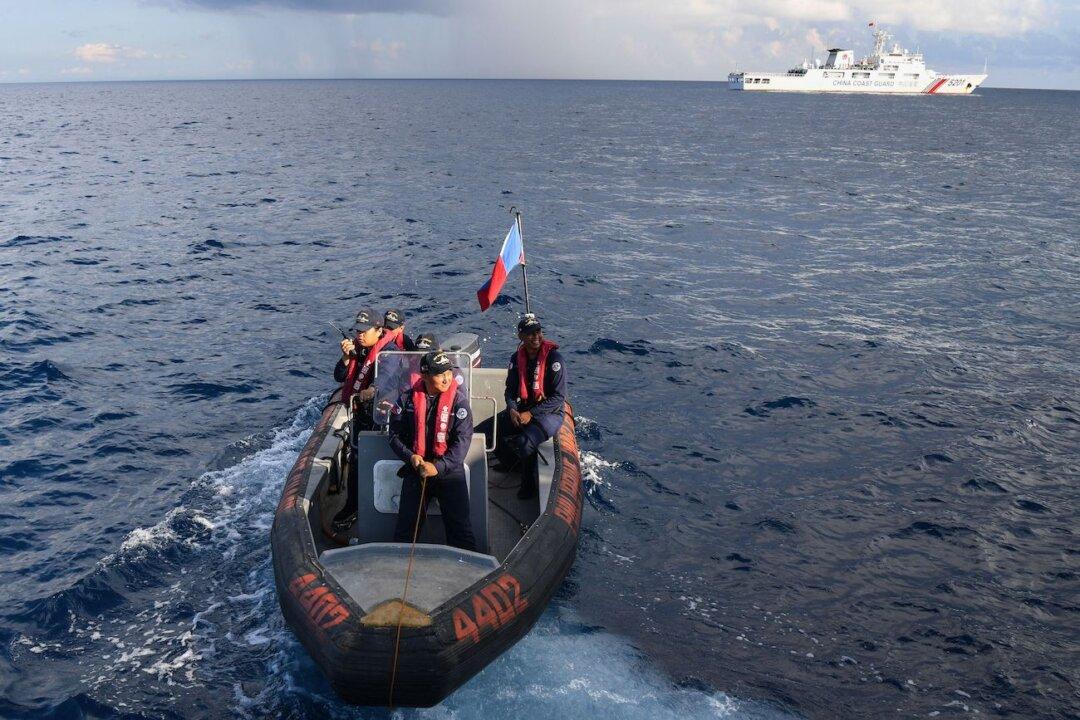
The Philippine Coast Guard (PCG) said on Monday that Chinese maritime militia ships were responsible for the “severe damage” on coral reefs within Philippine territorial waters in the South China Sea.
The PCG backed the military’s report and said it observed an average presence of 33 Chinese maritime militia vessels in Iroquois Reef and 15 other vessels in Escoda Shoal between Aug. 9 and Sept. 11.
The PCG said there was “visible discoloration” of the seabed in Escoda Shoal that indicated “deliberate activities may have been undertaken to modify the natural topography of its underwater terrain.”
The PCG said the continued swarming of Chinese militia ships “for an indiscriminate illegal and destructive fishing activities” may have directly caused the degradation and destruction of the marine environment in the areas.
Following that, the Department of Foreign Affairs said the Philippines has consistently voiced concerns about “ecologically harmful activities” conducted by foreign vessels within its maritime zones in the South China Sea.
Chinese Ships Remain in Disputed Reef
Satellite imagery from U.S.-based Planet Labs on Sept. 17 showed that at least 35 Chinese fishing and militia vessels continued operating within Iroquois Reef, according to Ray Powell, SeaLight director at the Gordian Knot Center for National Security Innovation.Mr. Powell said that under the United Nations Convention on the Law of the Sea (UNCLOS) and the 2016 Permanent Court of Arbitration ruling, the Philippines holds the right to the resources within its EEZ, rendering the Chinese ships’ activities in the areas illegal.
Beijing claims much of the South China Sea as its own territory. In 2016, the Hague Tribunal sided with the Philippines in its territorial disputes over the South China Sea, but the Chinese Communist Party (CCP) refused to recognize the ruling.
The CCP published last month its “standard” national map showcasing its extensive claims in the South China Sea. The map now features a “10-dash line” instead of the previous nine dashes used to stake claims on the disputed waters, with an additional dash to the east of Taiwan.
The Philippines said the new map was an attempt by the Chinese regime to legitimize its purported sovereignty and jurisdiction over Philippine features and maritime zones in the South China Sea.
“The Philippines, therefore, calls on China to act responsibly and abide by its obligations under UNCLOS and the final and binding 2016 Arbitral Award,” the Philippines government said.