BANGKOK—A U.S.-funded project using satellites to track and publish water levels at Chinese dams on the Mekong river was announced on Dec. 14, to Beijing’s ire.
The 4,350-kilometer (2,700-mile) waterway—known as the Lancang in China and flowing south through Burma, Laos, Thailand, Cambodia, and Vietnam—has become a focus of competition.
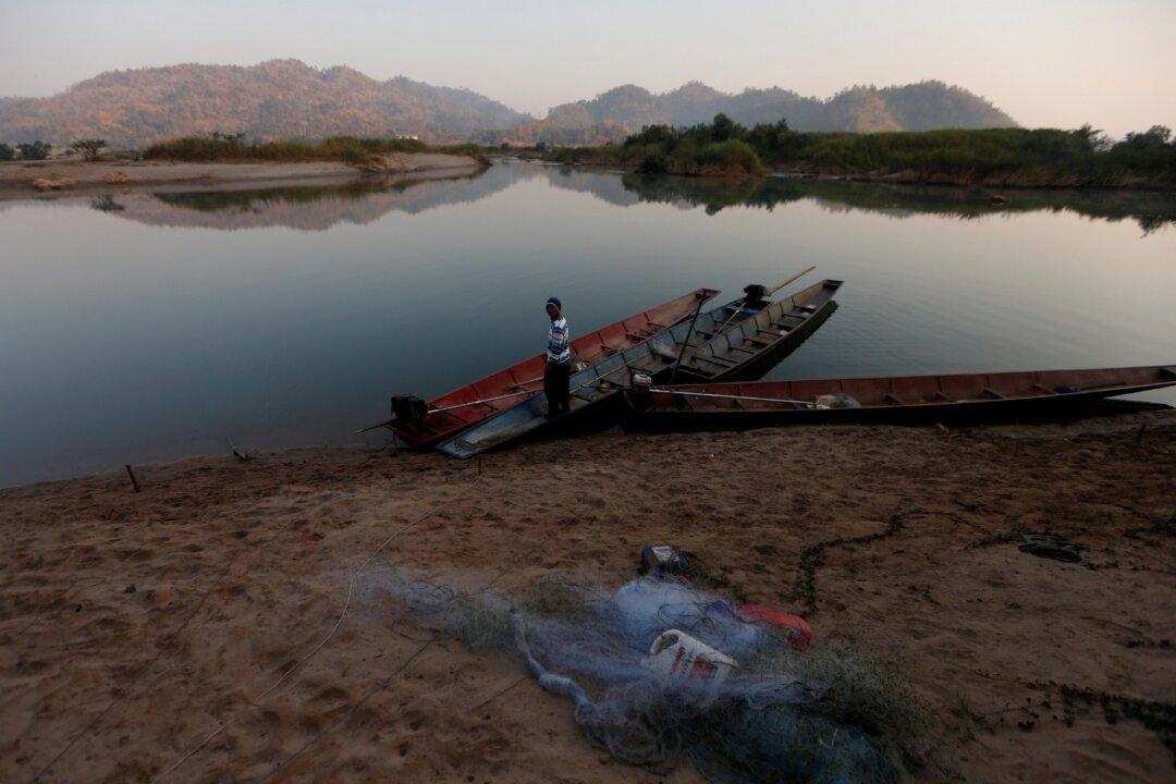
U.S. research has found that Chinese dams have retained water to the detriment of downstream nations, where 60 million people depend on the river for fishing and farming.
The information will be open for everyone in near real-time from Tuesday.
A separate indicator of “surface wetness” is to show which parts of the region are wetter or drier than usual: a guide to how much natural flows are being affected by the dams.
“The monitor provides evidence that China’s 11 mainstream dams are sophisticatedly orchestrated and operated in a way to maximize the production of hydropower for sale to China’s eastern provinces with zero consideration given to downstream impacts,” said Brian Eyler of the Washington-based Stimson Center, a global think tank which operates the virtual water gauges.
Activists said at the time that the study confirmed their suspicions about China’s actions.
China has no formal water treaties with the lower Mekong countries and shares only limited information.
The Mekong River Commission, an inter-governmental body that works with the governments of Laos, Thailand, Cambodia, and Vietnam in managing the Lower Mekong basin, said at the time that the study did not prove that the withholding of water caused the drought.
But its secretariat said it sought more information from China as well as a more formal working relationship.
China’s foreign ministry spokesman Wang Wenbin, when asked about the project at a daily news conference in Beijing on Monday, said it opposed “malicious provocation.”
China and the United States have rival bodies working with Mekong countries: the Beijing-based Lancang-Mekong Cooperation and the Mekong-U.S. Partnership.