BEIJING—China has published baselines for a contested shoal in the South China Sea it had seized from the Philippines, a move that’s likely to increase tensions over overlapping territorial claims.
The Foreign Ministry on Sunday posted online geographic coordinates for the baselines around Scarborough Shoal. A nation’s territorial waters and exclusive economic zone are typically defined as the distance from the baselines.
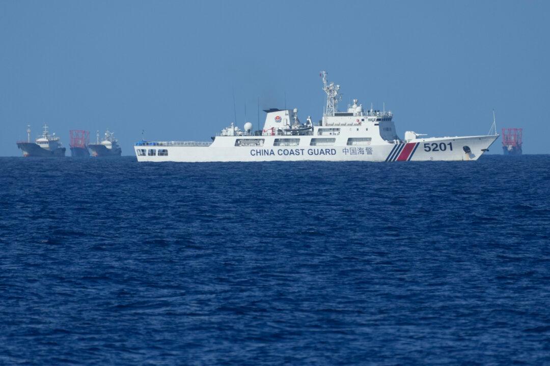
Both China and the Philippines claim Scarborough Shoal and other outcroppings in the South China Sea. The Chinese communist regime seized the shoal, which lies west of the main Philippine island of Luzon, in 2012 and has since restricted access to Filipino fishermen there. A 2016 ruling by an international arbitration court found that most Chinese claims in the South China Sea were invalid but Beijing refuses to abide by it.
Ships from China and the Philippines have collided several times as part of increased confrontations, and the Chinese coast guard has blasted Philippine vessels with water cannons.
The Chinese regime’s move came two days after Philippine President Ferdinand Marcos Jr. signed two laws demarcating the government’s claims in the disputed waters.
China stakes claim to almost the entirety of the South China Sea. It has a series of disputes with several Southeast Asian nations including the Philippines and Vietnam over territory in the waters, which are part of a key shipping route in Asia.