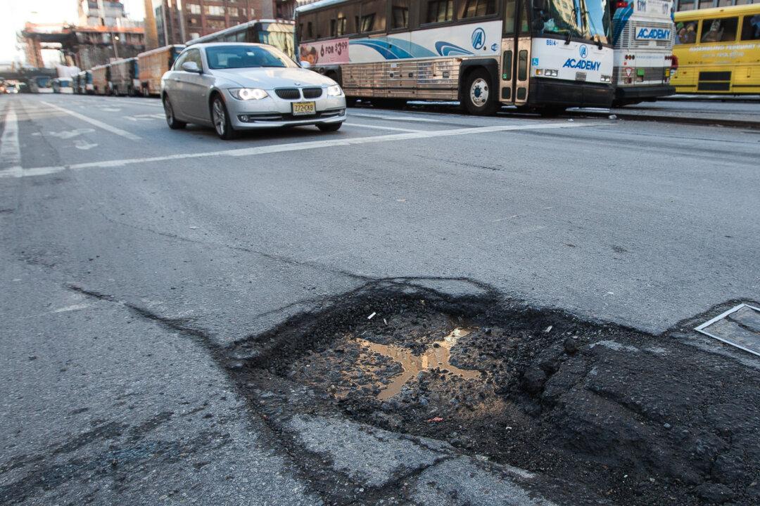
Of all the minor annoyances in life, potholes on a deteriorating road can be one of the worst. Besides giving the driver an unceremonious jolt, potholes can cause paint damage to your car if you’re lucky, and puncture a tire, take a toll on your shocks and suspension, or mess with your steering alignment, if you’re unlucky. You might even get trapped in one if it’s big enough.
According to the American Automobile Association, potholes cost Americans $6.4 billion in 2013.
Last week, Google patented a system that could allow drivers to avoid potholes not by learning what roads to avoid by experience, but by linking their GPSs to a central database of where all the potholes are located.
The technology for data collection is flexible, so that Google could crowdsource the information from a diverse group of volunteers. The quality of the pothole could be detected by “vertical displacement sensors, motion sensors, an accelerometer, [or] an altimeter,” and be loaded onto a range of devices, from laptops to smartphones, and then sent to Google.
Google would compile that data and, through an algorithm, assign ratings to various roads in a database so drivers would know just how common potholes are on a given route, and make the necessary trade-off between a smooth trip and a short one.
A pothole mapping database would further enhance the already widely used Google Maps, and could also be plugged into an autonomous driving system, which Google has been extensively testing.
So far, the company has not made any statements about how it plans to use this theoretical technology.
This is not the first time someone has made a pothole mapping mechanism. Crowdsources that have maps of potholes on the Waze app and for large cities like Chicago and New York City already exist, as well as states like New Jersey, although the human-reported potholes certainly wouldn’t be as precise as widely sourced machine-collected data.