While Temperatures Soar in Southern Ontario, Winter Returns to Northern Ontario, Quebec

While Temperatures Soar in Southern Ontario, Winter Returns to Northern Ontario, Quebec
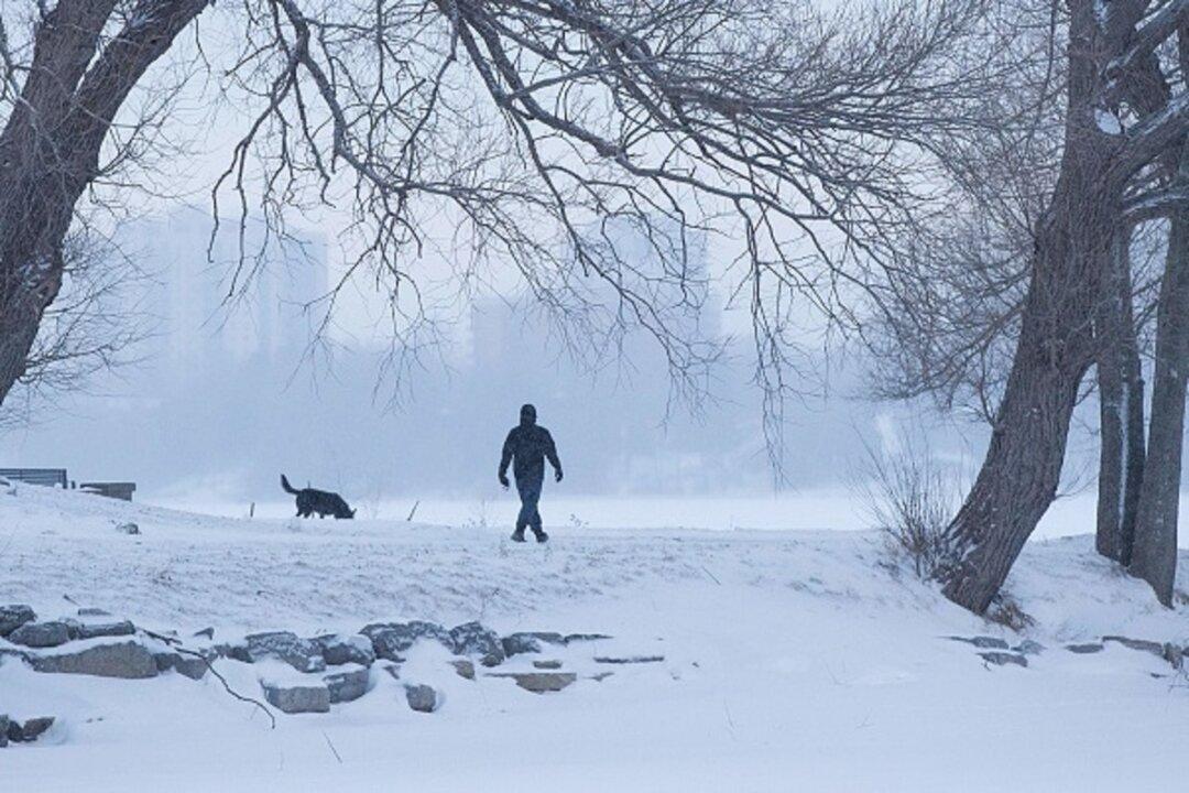
A man walks a dog in a snow covered park in Kingston, Ont., on Jan. 30, 2019. Lars Hagberg /AFP/Getty Images
Jennifer Cowan
Updated:
0:00

A Colorado low storm system is bringing “some of the biggest snowfall totals of the season” to portions of northwestern Ontario today, the Weather Network warns.

Environment Canada issued a special weather statement Feb. 9 for Fort Severn and the areas surrounding Big Trout Lake and Sachigo Lake with snowfall amounts of up to 20 centimetres expected.
If totals pan out, “there is the potential this system could bring some of the largest, one-day snowfall totals of the season for certain areas,” according to the Weather Network.

The snow will be heavy at times this morning, reducing visibility, but is expected to ease off sometimes this afternoon or evening, Environment Canada says. Patchy freezing drizzle is also possible.

Fog advisories have also been issued for a large swath of Northwestern Ontario. The advisory is in effect for the areas surrounding Dryden, Geraldton, Manitouwadge, Hornepayne, Pickle Lake, Lake Nipigon, and Sioux Lookout with areas of near-zero visibility, Environment Canada says. The dense fog patches are expected to dissipate later in the day.

Parts of northeastern Quebec, meanwhile, are under a freezing rain advisory with up to 2 millimetres expected overnight Feb. 9, Environment Canada. The Forestville, Les Escoumins, Saguenay areas will be the hardest hit and can look forward to ice build-up and icy surfaces making driving and walking outdoors treacherous.

Unseasonably Warm

Not all parts of the province will be hit by Old Man Winter, however. Temperatures are set to soar as southwesterly winds push into southern Ontario today with some areas seeing the thermometer rising to more than 15 degrees Celcius above normal.

The Weather Network is forecasting daytime highs in both Toronto and Ottawa that could come close to breaking daily temperature records.

Highs in the mid-teens are expected across southwestern Ontario, with temperatures reaching up to 13 degrees C in Toronto and the surrounding area.

Much of southern and central Ontario will see temperatures running 10-plus degrees C above seasonal, the Weather Network says. Expected highs of 16 degrees C in Windsor and 7 degrees C in Timmins will be 16 degrees C above normal temperatures.

Above-seasonal conditions will remain on Feb. 10, with daytime highs reaching the upper single digits for most of Southern Ontario with bouts of rain hitting the GTA by morning. The Weather Network is predicting highs into the double-digits in the southwest around Windsor.

The spring-like weather won’t stay for long, however.

“We’ll see temperatures fall back from their lofty highs … as winds shift behind our departing low-pressure system,” the Weather Network says.

Northeastern Ontario can expect the arrival of cooler temperatures by the morning of Feb. 10 and central and southern Ontario will follow suit soon after.

“A major pattern change will develop next week as temperatures trend colder,” the Weather Network says. “There will be a period of transition, but we expect near seasonal, and at times, colder-than-seasonal temperatures will dominate during the second half of February and into the first half of March.”

Quebec, meanwhile, can expect temperatures to be well above the freezing mark heading into the weekend, but the thermometer will not come close to hitting double digits in Montreal or Quebec City.

Looking Ahead

The latter part of the month across Western Canada is expected to be mild and dry although “quick shots” of Arctic air will hit Alberta and Saskatchewan, the Weather Network says. Above-seasonal temperatures are also predicted to dominate into early March.
“The worst of this relatively short and mild winter is already behind you in Western Canada, while from Ontario to Atlantic Canada, winter’s final chapter could prove to be a rather lengthy one,” the Weather Network says.
“Forecasters see decent odds that water temperatures in the eastern Pacific will return to around seasonal by the latter half of spring, putting us in ‘neutral’ territory that doesn’t have much of an effect on global weather patterns.”