Victoria, South Australia and southern New South Wales (NSW) are set for their turn of bucketing rain and flash flooding as the wet summer continues across Australia’s east coast.
Swathes of Victoria have been put on notice to expect rainfall totals as high as 150mm to 200mm when thunderstorms sweep across the state on Sunday and Monday.
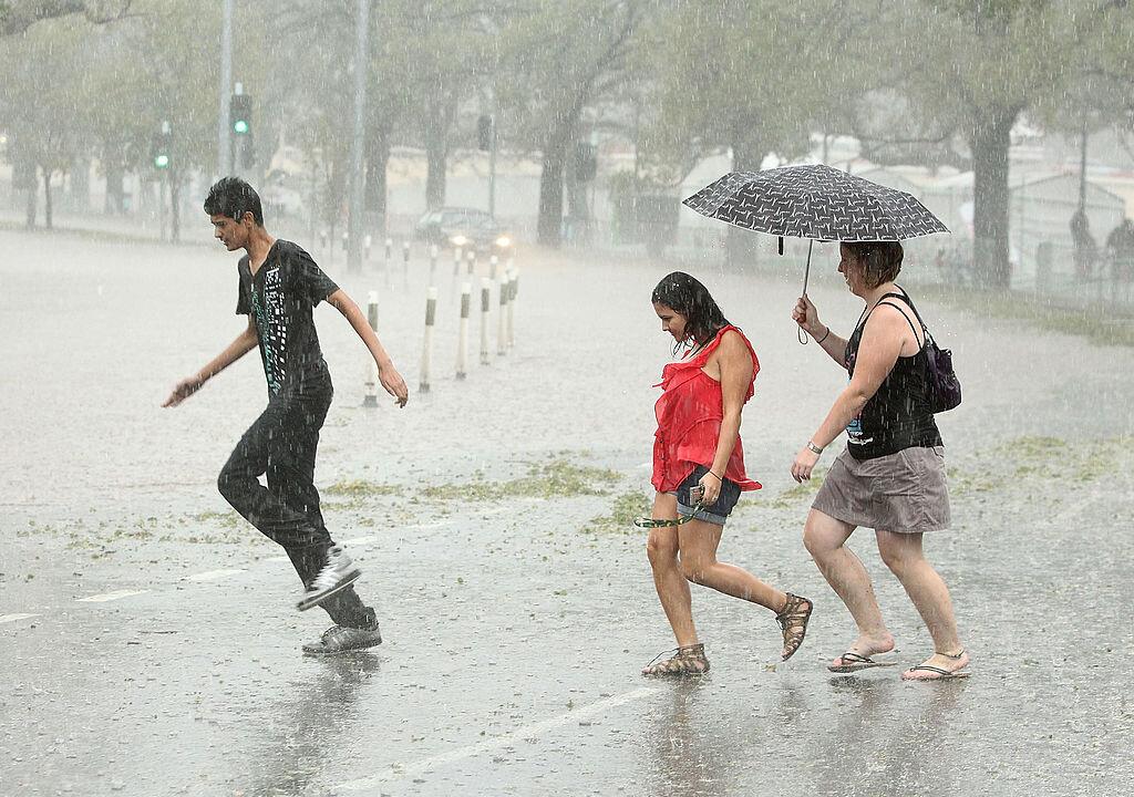
South Australian and southern NSW areas are also in the firing line of the forecast major weather event.
The SA State Emergency Service warned of potential heavy rainfall, strong winds, hail and lightning as thunderstorms moved across the state on Saturday night before they were expected to head toward east border districts from Sunday morning.
The Bureau of Meteorology has also issued a warning for severe thunderstorms and flash floods across parts of southern NSW from Saturday evening to Tuesday.
Victoria’s Emergency Management Commissioner Rick Nugent said flash flooding was highly likely along many of the state’s already sodden rivers and creeks following recent rain.
Residents of flood-prone areas, as well as holiday-makers in caravan parks and campers along waterways, have been urged to prepare and be on the lookout for emergency flood warnings.
“Falling tree branches and flash floods are the highest risk,” Mr. Nugent told reporters on Saturday.
“Please don’t drive through floodwaters - you’re driving a car, not a boat.”
The storms are expected to develop in Victoria’s west on Sunday morning, before moving through central, north central and eastern parts of the state during the day and into Monday.
Some areas in Victoria’s Mallee and Wimmera districts could record up to 60mm of rain in less than an hour, meteorologist Michael Efron cautioned.
“The amount of moisture across the state at the moment is incredible,” Mr. Efron said.
“It’s what you would normally see in somewhere like Queensland.”
Victoria’s State Emergency Service boss Tim Wiebusch said storm fronts with a “tropical moisture link” often prompted flash flooding and subsequent riverine flooding.
The flooding risk is highest to the state’s north but metropolitan Melbourne could face the same threat between midnight on Sunday and midday on Monday.
“We’ve already seen 20 flood rescues from the start of 2024 - that’s 20 too many,” Mr. Wiebusch said.
SES crews will establish sandbag collection points at high-risk locations such as Bendigo, Castlemaine, Campbells Creek, Heathcote and Wedderburn from Sunday.
The latest flood threat comes amid the clean-up from storms in southeast Queensland and ex-tropical cyclone Jasper in the state’s far north, with the repair bill from the back-to-back disasters expected to pass A$2 billion (US$1.35 billion)