Thunderstorm Warning as Heat and Humidity Linger in NSW

The highest temperature was recorded in northern NSW at Brewon, which reached 39.6C on Feb. 5.
Thunderstorm Warning as Heat and Humidity Linger in NSW
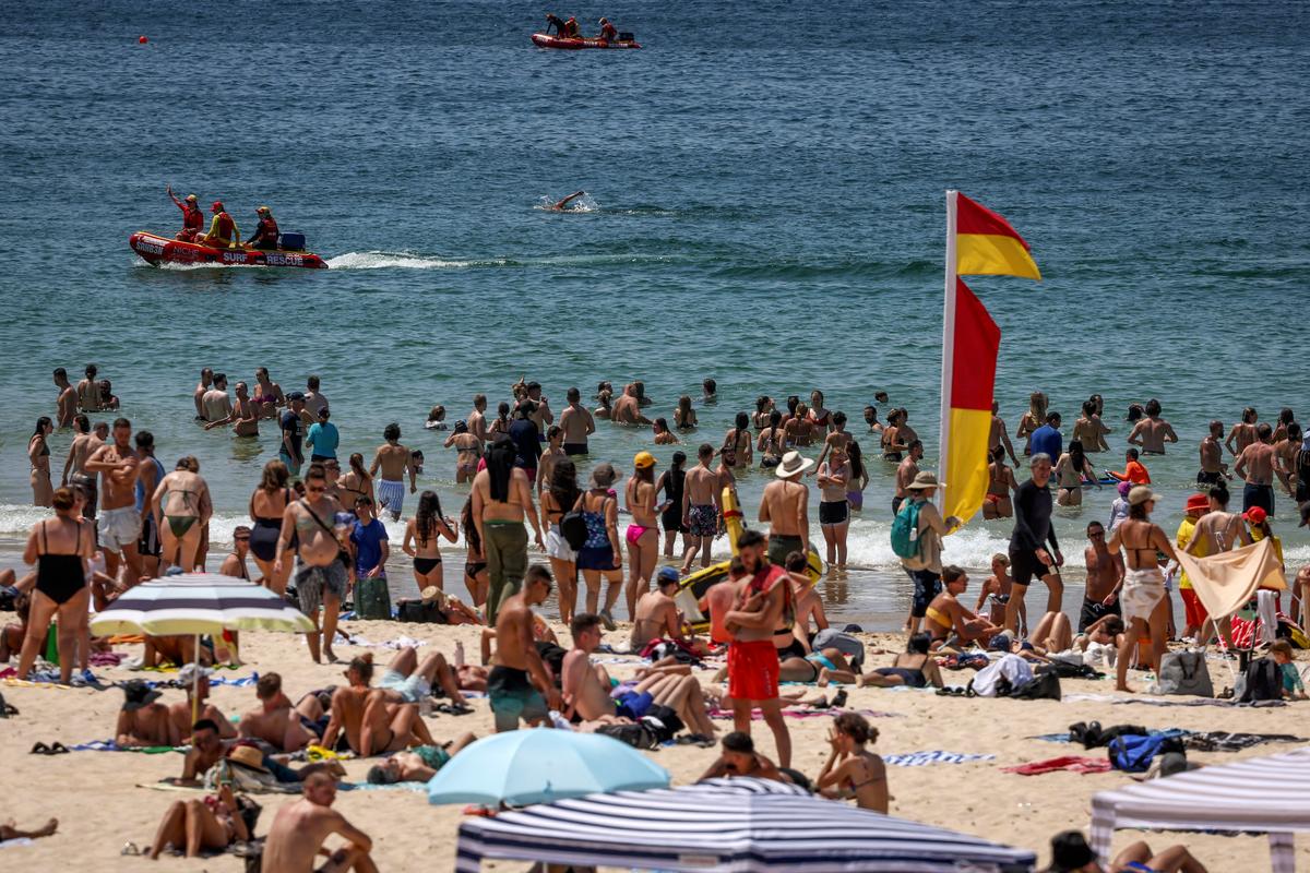
Beachgoers swim on a hot summer day at Bondi Beach in Sydney, Australia, on Dec. 9, 2023. David Gray/AFP via Getty Images
AAP
By AAP
Updated:

Parts of Australia have endured a sweltering start to the working week with temperatures expected to remain high for a second consecutive night.

The mercury in Sydney’s city centre reached a peak of 34.3C on Monday morning, Feb. 5, but the high humidity pushed the apparent temperature about 5C higher.
In the west, Penrith peaked at 35C shortly after 3pm, but it felt more like 38.4C at 2.30pm before a possible thunderstorm forecast in the afternoon.

The highest temperature was recorded in northern NSW at Brewon, which reached 39.6C on Feb. 5 after sweltering through temperatures exceeding 40C on the weekend.

It followed a sweaty Sunday night, Feb. 4, with minimum temperatures in the high teens to mid-20s across the state, reaching the mid- to high-20s in the north.

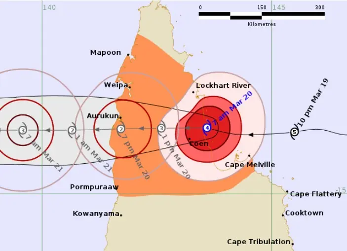
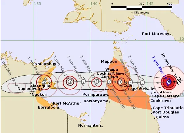
While the heat originated in the country’s west, the humidity could be attributed to ex-Tropical Cyclone Kirrily, which hit north Queensland in late January, Bureau of Meteorology senior meteorologist Miriam Bradbury said.

“The heat is likely to linger until we see a trough moving through, but unfortunately that’s not expected until [Tuesday] when it’s likely to barrel up the south coast in the early afternoon,” she told AAP.

“[The cool change] might not reach those mid-north and northern coastlines until quite late in the day on Tuesday, which means another warm night for much of NSW and Sydney.”

A heatwave warning is in place for the NSW mid-north coast, Hunter, northern tablelands, south coast, central tablelands and northwest slopes regions until Tuesday, Feb. 6.

The bureau forecast thunderstorms across much of the state on Feb. 5, with severe storms possible for multiple regional towns including Orange, Mudgee, Goulburn and Wilcannia.

Storms could continue through to late Monday evening and possibly early Feb. 6, the bureau said.

Heatwave conditions were also forecast for Western Australia and the Northern Territory.

In the territory, Tennant Creek hit 38.9C with an apparent temperature of 40C at 4.30pm.

Alice Springs recorded 42.9C but a lower dew point made it feel like 37.4C.

The WA heatwave concentrated in the state’s Pilbara region, where temperatures in nine areas passed 40C on Feb. 5.

The high temperatures follow a sweltering weekend for much of the country, with extreme UV levels in Australia’s biggest cities.

Parents have been warned to prevent their children getting sunburnt, with UV levels on Monday again reaching extreme levels.

Related Topics