Sydney in Firing Line as Sodden State Cops More Rain

A slow-moving low-pressure system is dumping rain across the state, triggering severe weather warnings in areas including Sydney.
Sydney in Firing Line as Sodden State Cops More Rain
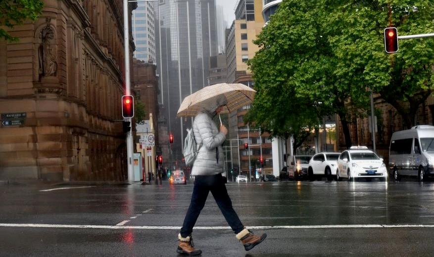
A woman shelters from the rain under an umbrella while crossing a street in Sydney on October 6, 2022. (Muhammad Farooq/AFP via a Getty Images)
AAP
By AAP
Updated:
0:00

A weather-weary NSW will be pounded by huge overnight falls as some areas are hit with a month’s worth of rain in 24 hours.

A slow-moving low-pressure system is dumping rain across the state, triggering severe weather warnings in areas including Sydney.

Parts of Illawarra received about 180mm of rain in the 24 hours to 12.30pm on June 6, which Bureau of Meteorology senior meteorologist Angus Hines said equated to a month’s worth.

“The low [pressure system] which is driving this rain onto the country is not moving anywhere quickly,” Mr. Hinds said.

But a reprieve from heavy rain is in sight.

“[But] on Friday (May 31), initially the low moves towards the coast but then it does a U-turn in the morning and starts to move away from the country, meaning in the second half of the day on Friday that rain will really begin to clear out with brighter weather,” he said.

Severe weather warnings remain active between Oberon in the central tablelands and the southern coast town of Uladulla.

Some southern Sydney suburbs and the Illawarra district set for the heaviest overnight rain.

The bureau predicts parts of the Illawarra district, areas of the south coast and southern sections of Sydney could cop more than 100mm of rain between June 6 and June 9.

Isolated areas in Illawarra could top 200mm or even 250mm, Mr. Hines said.

Earlier on June 6, the bureau warned of possible flash floods because of the heavy downpours.

Flood warnings remain active for the Hastings, Shoalhaven and Cooks Rivers and the St Georges Basin near Nowra, with a more-severe moderate warning listed for the Hawkesbury and Nepean Rivers.

The NSW State Emergency Service warned people in Penrith and nearby areas to be prepared for possible moderate flooding on the Nepean River due to “very heavy rainfall” expected in Sydney’s west.

Catchment areas were already wet after recent rainfall and Warragamba Dam, which supplies most of Sydney’s water, was nearing capacity.

There was a chance the dam would spill in the coming days, WaterNSW said.

That would put further pressure on waterways on Sydney’s outskirts as the overflow hits river systems.

The alert came after the bureau in May warned Australia could be hit with the return of a La Nina weather pattern, which typically brings wetter-than-usual conditions to the nation’s east.

There was a 50-50 chance the weather system might form in the Pacific Ocean later in 2024, it said at the time.

In April, the bureau declared an end to an El Nino weather event, which generally brings hotter, drier weather to the country’s east.

Related Topics