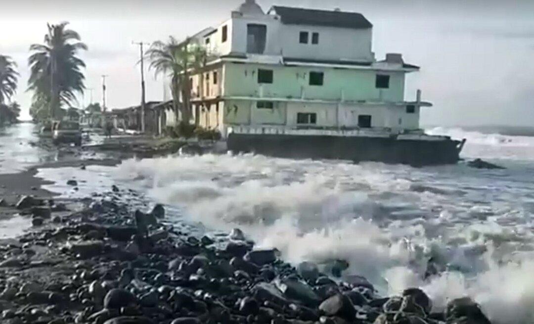
Two powerful typhoons are hurtling toward the Korean Peninsula, threatening to bring more flooding and devastation to an area that has already been battered by one of the wettest monsoon seasons in recent history.
Typhoon Maysak—which is currently equivalent to a Category 4 hurricane—is expected to make landfall on the southern part of the Korean Peninsula Wednesday night, local time. The storm currently has winds of 130 miles per hour (215 kilometers per hour) but is expected to weaken to a Category 2 storm with winds of around 99 to 108 mph (160 to 175 kph) by the time it makes landfall on the Korean Peninsula.
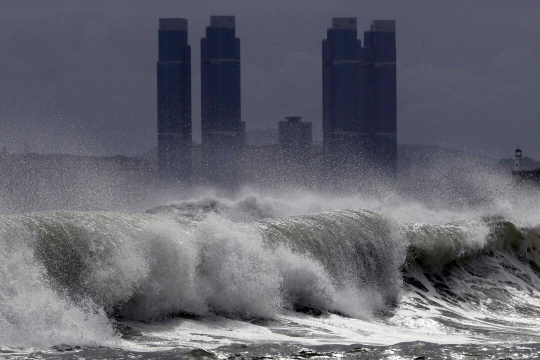
If Typhoon Maysak makes landfall on the Korean Peninsula, it would be the fourth named storm to do so this year. The typhoon takes its name from a Cambodian word for a type of tree.
The Korea Meteorological Administration (KMA) expects South Korea will be hit by heavy rains and strong winds on both Wednesday and Thursday.
And there’s more bad weather in store for the region. Tropical Storm Haishen is expected to strengthen into a typhoon within the next 24 hours, before becoming the equivalent of a Category 4 hurricane by the end of the week.
Preparations Underway
Both North and South Korea are preparing as the two storms approach.South Korean government officials have been dispatched to regions expected to be affected by Typhoon Maysak, South Korea’s Ministry of Interior and Safety announced in a news release Wednesday.
North Korea’s state-run Korean Central News Agency (KCNA) reported Wednesday that “urgent measures are being taken for minimizing the damage,” with heavy rains and strong winds expected to hit various parts of the country.
Officials are providing information so that people can “understand the importance of work for preventing typhoon damage and methods of coping with its crisis,” and take immediate measures in dangerous spots, according to the report. Already efforts to minimize potential typhoon damage are underway, including repairing roofs and moving ships to safe areas, the report added.
Earlier in the week, Typhoon Maysak disrupted more than 200 flights in Japan. The country is already preparing for Tropical Storm Haishen, which is expected to bring high waves and heavy rain to Kyushu over the weekend, Japan’s public broadcaster NHK reported.
Wet Summer
Although Japan and the Korean Peninsula often experience typhoons and torrential rain during summer, the damage this year has been particularly bad.Just last week, Typhoon Bavi—which was equivalent to a Category 1 storm—battered western North Korea. Although the national television broadcaster usually signs off at 10:30 p.m. local time each day, it continued to air live coverage of the damage wrought by the storm, including fallen trees, roofs stripped from buildings, and roads submerged in water.
After the typhoon, North Korean state media reported that dozens of buildings had been damaged, and power and water systems had been impacted.
North Korean leader Kim Jong Un said the country had suffered “smaller than expected” damage from Typhoon Bavi despite his concerns when he inspected the typhoon-stricken South Hwanghae province.
Earlier in August, severe flooding caused by torrential rain left dozens dead or missing in North Korea and destroyed more than 22,000 hectares of arable land, according to the International Federation of Red Cross and Red Crescent Societies.
In South Korea, flooding and landslides left more than 40 dead or missing, and prompted the government to move thousands of people into evacuation facilities, according to South Korean authorities.
And in July, flash flooding triggered by record rainfall in Japan killed at least 18 people in Kyushu.