Rolling Updates: North Queensland Braces for Tropical Cyclone Kimi

Rolling Updates: North Queensland Braces for Tropical Cyclone Kimi
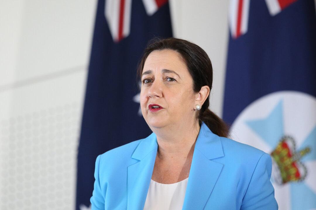
Queensland Premier Annastacia Palaszczuk speaks at a press conference in Brisbane, Australia on Jan. 11, 2021. Jono Searle/Getty Images
Caden Pearson
Updated:

Update (4.42 p.m.)

The Bureau of Meteorology (BOM) issued updated advice at 4.34 p.m. for Tropical Cyclone Kimi, now a category 2 system.

The cyclone is now 165 kilometres north of Townsville in North Queensland and moving south-southeast at 14 km/hr.

Tropical Cyclone Kimi Forecast Track Map issued by the Bureau of Meteorology at 4.42 p.m. on Jan. 18, 2020. (BOM) Refer to Tropical Cyclone Advice Number 11.

The BOM said that TC Kimi is expected to continue south tonight and become slow-moving on Tuesday, somewhere off the coast between Hinchinbrook Island and Townsville.

“The cyclone is expected to begin weakening as it stalls on Tuesday. The remnants of the system is expected to begin tracking northwards as a weak tropical low,” the BOM said on its website.

“The system’s movement has been erratic and considerable uncertainty remains with the forecast movement. Hence, a coastal crossing between Hinchinbrook Island and Townsville tonight or on Tuesday REMAINS A POSSIBILITY.”

For more information see: http://www.bom.gov.au/products/IDQ65002.shtml

Update (1:49 p.m.)

Tropical Cyclone Kimi has intensified into a category 2 system as it moves south with a cyclone watch declared for Bowen. However, it is expected to stall and weaken off the coast of Hinchinbrook Island and Townsville on Tuesday.
The Bureau of Meteorology (BOM) in an update at 1.49 p.m. said that it remains possible the cyclone might cross the coast as a category 2 system on Monday night or on Tuesday.

As TC Kimi moves further south, the BOM has cancelled the cyclone warning zone from Port Douglas to Innisfail, replacing it with Innisfail to Ayr—including Lucinda, Palm Island, and Townsville.

Forecasts show that it might circle back north as a tropical low, potentially returning to the east of Cairns by Jan. 21.

The region from Ayr to Bowen is in the watch zone.

Tropical Cyclone Kimi Forecast Track Map issued by the Bureau of Meteorology at 1:56 p.m. on Jan. 18, 2020. (BOM) Refer to Tropical Cyclone <a href="http://www.bom.gov.au/cgi-bin/wrap_fwo.pl?IDQ20023.html">Advice Number 10</a>.
Tropical Cyclone Kimi Forecast Track Map issued by the Bureau of Meteorology at 1:56 p.m. on Jan. 18, 2020. (BOM) Refer to Tropical Cyclone Advice Number 10.

TC Kimi is now 130 kilometres east-southeast of Cairns and 195 kilometres north of Townsville.

The Bureau has warned that destructive wind gusts could reach 150 km/hr near coastal and island areas between Hinchinbrook Island and Ayr overnight or on Tuesday, depending on the movement of the cyclone. Gales with gusts to 120 km/hr are likely as well—possibly extending southwards to Bowen later on Tuesday.

A flood watch is active in the area as heavy rainfall may bring flash and river flooding between Innisfail and Bowen on Monday night and on Tuesday.

Coastal regions need to be aware of large waves and abnormally high tides on Monday and Tuesday as the cyclone gets closer to the coast, however, the sea level should not exceed the highest tide of the year, the BOM said.

Update (10:34 a.m.)

The Bureau of Meteorology reported an update at 10.34 a.m. that Tropical Cyclone Kimi has moved slowly south of Cairns and is estimated to be about 90 kilometres east off the coast, and 250 kilometres north of Townsville.

The cyclone has picked up speed and is now tracking south at 12 km/hr, and is expected to move closer to the coast on Monday afternoon, where it might intensify into a category 2 system.

Tropical Cyclone Kimi Forecast Track Map issued by the Bureau of Meteorology at 10:47 a.m. on Jan. 18, 2020. (BOM) Refer to Tropical Cyclone <a href="http://www.bom.gov.au/cgi-bin/wrap_fwo.pl?IDQ20023.html">Advice Number 9</a>.
Tropical Cyclone Kimi Forecast Track Map issued by the Bureau of Meteorology at 10:47 a.m. on Jan. 18, 2020. (BOM) Refer to Tropical Cyclone Advice Number 9.

The BOM is still considerably uncertain about when and where the cyclone may cross the coast, but current forecasts show it may cross the coast overnight or on Tuesday between Innisfail and Lucinda.

Destructive wind gusts up to 130 km/hr may develop about coastal and island communities between Innisfail and Lucinda overnight or on Tuesday.

Update (7 a.m.)

Far North Queensland residents are battening down the hatches as Tropical Cyclone (TC) Kimi is expected to strengthen off the east coast and make landfall somewhere between Innisfail and Lucinda on Monday evening or Tuesday.

The Bureau of Meteorology said that as of 7 a.m. on Monday the cyclone was 85 kilometres east-northeast of Cairns and 295 kilometres north of Townsville.

Coastal regions between Port Douglas and Ayr are on alert, Queensland Fire and Emergency Services Meteorologist David Grant told reporters on Monday.

TC Kimi is expected to develop damaging and destructive winds sometime on Monday or Tuesday with gusts forecast to reach 120 km/hr.

The cyclone slowly crept south throughout Sunday and is expected to shift course on Monday in a south-southwest direction, moving at 9 km/hr.

However, authorities have warned that the cyclone may shift direction once again.

Tropical Cyclone Kimi Forecast Track Map issued by the Bureau of Meteorology at 7:57 a.m. on Jan. 18, 2020. (BOM) Refer to Tropical Cyclone Advice <a href="http://www.bom.gov.au/cgi-bin/wrap_fwo.pl?IDQ20023.html">Number 8</a>.
Tropical Cyclone Kimi Forecast Track Map issued by the Bureau of Meteorology at 7:57 a.m. on Jan. 18, 2020. (BOM) Refer to Tropical Cyclone Advice Number 8.
“The system is most likely to approach, and may cross, the coast late today or early Tuesday between about Innisfail and Lucinda, however, there remains considerable uncertainty with the crossing time and location,” the Bureau Of Meteorolgy warned. “The system may intensify further during today and is likely to be at least at least a category two system as it approaches the coast.”

Premier Annastacia Palaszczuk urged residents to pay attention to emergency updates via radio and media and avoid flooded areas.

“Cyclones are a little bit unpredictable, and they will move ... during the course of today,” she said.

The Queensland Disaster Management Committee will meet on Monday at 3.30 p.m. with the ministers and mayors of the affected regions.

“I know that people in the north are very well prepared when it comes to cyclones. They know how to deal with these, they do listen to what authorities are saying, and they are very, very well prepared,” Palaszczuk said.

Police Deputy Commissioner Steve Gollschewski warned residents that the cyclone had shifted directions multiple times already and urged them to monitor updates throughout the day.

Flash Flood Warning

The system will bring heavy rainfall, and flash flooding will be a risk along the tropical east coast for the next few days with a flood watch in place between Cape Flattery and Ingham.

“People between Port Douglas and Ayr and inland to Mareeba and Atherton should immediately commence or continue preparations, especially securing boats and property,” the BOM said in an update issued online.

Recent rain has saturated the soil, creating the conditions for flash flooding.

“I know we’re Queenslanders, I know we go through cyclones every single year, but please do not be complacent,” Police Minister Mark Ryan said.

Ryan said a flood watch had been issued for at least ten waterways including the Jeannie, Endeavour, Daintree, Mossman, Barron, Mulgrave, Russell, Johnstone, Tully, Murray, and Herbert rivers.

“So if you’re in those areas you need to prepare ... if it’s flooded forget it, have a plan about where you'll be travelling, bear in mind where those river catchments are, be aware that during this event you could have flash flooding,” he said.

The cyclone had been set to cross the coast between Cooktown and Innisfail, but it’s now expected to make landfall further south between Innisfail and Lucinda.

More to come.