Rain Relief in Sight for BC South and Interior as Northeast Swelters

Rain Relief in Sight for BC South and Interior as Northeast Swelters
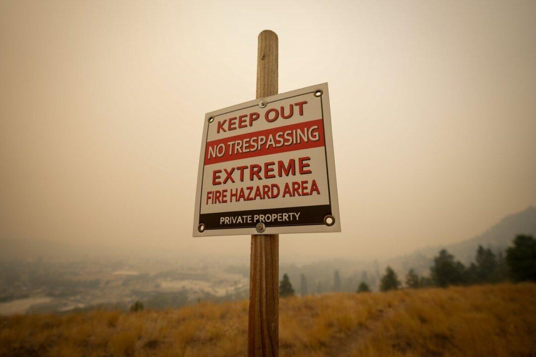
A warning sign about fire risk is seen as smoke from wildfires fills the air in Kelowna, B.C., on Aug. 19, 2023. The Canadian Press/Darryl Dyck
The Canadian Press
Updated:
0:00

Large portions of northeastern British Columbia continue to swelter a day after some areas hit daily record temperatures, as the forecast for rain in the south and Interior brought the promise of relief for some wildfire zones.

Environment Canada said Tuesday temperatures are again to push near or past 30 C in parts of the Peace River Regional District and the Northern Rockies Regional Municipality.
The heat warning is expected to be in place until the evening.

Historic records for daily high temperatures for Aug. 28 were broken Monday in Fort St. John, Dawson Creek and Fort Nelson.

Fort Nelson reached 33.9 C, almost six degrees higher than the previous record for that day recorded in 1986.

The BC Wildfire Service has cautioned that warm, dry conditions in northern parts of the province have led to increased fire activity in the region, with the Fort Nelson First Nation putting two reserves on alert.

Some much needed rain fell on Vancouver Island, with almost two millimetres recorded at the airport, but the wildfire service was also warning on social media that lightning associated with a severe thunderstorm event over the island Monday night risked setting fires.

Light rain was also falling over parts of Metro Vancouver on Tuesday morning.

Meanwhile, crews battling a destructive wildfire in the Shuswap region are hoping for help from rain that could begin falling in the area Tuesday night.

Mike McCulley, an information officer with the BC Wildfire Service, said it’s unclear how much rain could aid their efforts as the last amounts varied widely across the 430-square-kilometre Bush Creek East blaze, from just one millimetre to 15.

Temperatures in Salmon Arm and Kelowna both breached 30 C on Monday with no precipitation recorded.

While fire behaviour has picked up with hot and dry conditions over the last few days, McCulley said there’s been no major growth on the fire, which destroyed or significantly damaged nearly 170 properties just over a week ago.

The nights are getting longer, he added, which should be “a huge help” in the battle.

John MacLean, director of the emergency operations centre for the Columbia Shuswap Regional District, said staff began reaching out Monday to residents whose properties have been affected by the wildfire.

It’s among just over 380 active blazes throughout B.C., including 12 “wildfires of note,” meaning they’re highly visible or pose a threat to public safety.