Optimising Renewable Power: University Develops Map of Australia’s Renewable Potential

Optimising Renewable Power: University Develops Map of Australia’s Renewable Potential
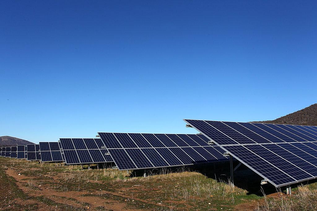
The Royalla Solar Farm on June 28, 2016 in Canberra, Australia. Lisa Maree Williams/Getty Images
Updated:
To optimize renewable power by bridging the gap in knowledge between renewable companies and landowners, the Australian National University (ANU) has developed maps of Australia that identify places with wind and solar potential.

In an email to The Epoch Times, Prof. Andrew Blakers, from the ANU College of Engineering, Computing and Cybernetics, said that the heat maps allow landowners to determine if their land is good, bad or indifferent for wind and solar farms.
“The solar & wind farm companies already know this privately, of course, so it evens up the knowledge on both sides of a negotiation for land access,” Blakers said.

The maps segment Australia, excluding incompatible sites such as urban areas, native forests, and protected areas, into cost brackets based on solar and wind generation that varies from Class A to Class E. Blakers said in an ANU news release that Class A to C sites are strongly favoured.

The maps are also colour coded, with Class A to C sites in red, less desirable sites in pink or blue, and incompatible sites in green.

Cattle are seen in front of wind turbines at the Taralga Wind Farm in Taralga, Australia, on Aug. 31, 2015. (Mark Kolbe/Getty Images)
Cattle are seen in front of wind turbines at the Taralga Wind Farm in Taralga, Australia, on Aug. 31, 2015. Mark Kolbe/Getty Images

Facilitating Collective Bargaining Opportunities

ANU researchers said that farmers and landowners are critical to the acceleration of Australia’s switch to renewable energy and reaching renewable energy targets.

ANU PhD researcher Cheng Cheng, who was involved in the study, said that the heat maps are designed to facilitate collective bargaining with developers.

“Access to high voltage transmission lines is essential for solar, and wind farms and landholders in windy and sunny areas near existing infrastructure have a valuable economic opportunity,” Cheng said.

He said that this project aims to enable landowners to approach developers directly and negotiate renewable farm construction on their land.

“This can also assist the solar and wind farm developers by reducing the complexity and time required to gain legal access and community acceptance,” Cheng said.

“If landowners or local councils are able to access this sort of information and collectively approach developers themselves, it could speed up the development process.

“Currently, developers approaching individual landowners may face high rejection rates.”

Moreover, Cheng said that landholders who host solar or wind farms have another source of income that enables them to have a resilient income strema during times of drought.

“This is beneficial for farmers, as crops can be grown underneath both solar and wind farms, and animals can have access to shade,” he said.

Sheep graze in front of wind turbines on Lake George on the outskirts of Canberra, Australia, on Sep. 1, 2020. (David Gray/Getty Images)
Sheep graze in front of wind turbines on Lake George on the outskirts of Canberra, Australia, on Sep. 1, 2020. David Gray/Getty Images

Making the Map

The project used geographic information to create the heat maps and received support from CWP Renewables and Innovation Connections.

“We take into account the local wind and solar resource, access to transmission to send the power to the cities, national parks, urban areas, remnant vegetation, slope, aspect etc.,” Blakers said.

Blakers said in the ANU release that, currently, the biggest restraint that developers face is access to high-power transmission lines. He said that conventional power lines cross over dozens to hundreds of properties and require complicated negotiations with numerous people.

“In contrast, solar and wind farms generally fit on one or a few properties. That usually makes an access agreement much easier to negotiate,” he said.

“All of the possible sites we’ve identified are near existing and approved high-power transmission lines.”

“These maps show the relative cost of renewable energy on each 1,000m x 1,000m parcel of land for solar farms and 250m x 250m parcel for wind.”

Blakers said that the reason wind farm siting is far more restricted than solar siting is that solar is a far more widespread resource.

Project Limitations

The resulting map of this project should be viewed as indicative because the publicly available datasets that were used in this estimation could contain inaccuracies. Additionally, no land that is identified in the maps has undergone any other studies, and there is no certainty that any particular area would be suitable.

Furthermore, the commercial feasibility of development at any of the identified locations is unknown, and quality assurance would be necessary for safety and efficacy, as with any major engineering project.

“We may add more information and will update as more transmission gets built. We'll leave commercial feasibility and quality assurance to companies,” Blakers said.

The Royalla Solar Farm in Canberra, Australia, on June 28, 2016. (Photo by Lisa Maree Williams/Getty Images)
The Royalla Solar Farm in Canberra, Australia, on June 28, 2016. Photo by Lisa Maree Williams/Getty Images

Areas with Renewable Potential

Blakers said that the best wind and solar sites in Queensland follow the coastal transmission lines north of Brisbane in areas such as Rockhampton and Mackay.

“Perth, on the other hand, has an abundance of suitable solar and wind sites close to transmission lines that run from the north and the south of the city,” he said.

In regard to South Australia, Blakers noted that there is excellent wind and solar potential to the east of St Vincent and Spencer gulfs. While in Victoria, the Yallourn district has good wind potential, strong existing transmission into Melbourne, and fulfils a need to replace local jobs in the coal industry.

“There’s also extensive wind potential west of Melbourne,” he added.

In New South Wales, the area between Goulburn and Lithgow has good solar and wind resources as well as access to transmission lines. While in Tasmania, there are many desirable sites for wind farms along the north coast and on the King and Flinders islands.

Lily Kelly
Lily Kelly
Author
Lily Kelly is an Australian based reporter for The Epoch Times, she covers social issues, renewable energy, the environment and health and science.
Related Topics