NSW south coast residents flooded last week may soon find water lapping at their doors again, with flood warnings issued for much of the region this weekend.
Heavy rain, strong winds and severe thunderstorms caused by a low pressure system are forecast across the state.
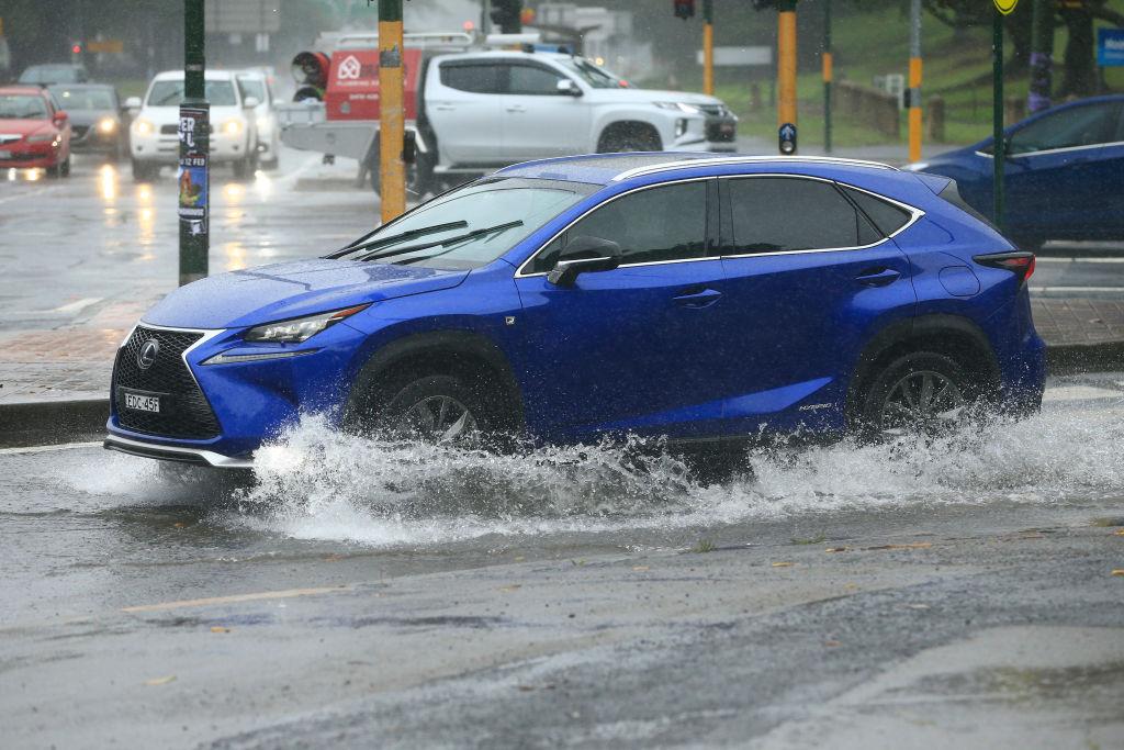
Storms are expected in the state’s north and significant snowfall is forecast for the alpine regions, but most of the rain will hit the state’s southeast.
Sydney will be largely spared, but the Bureau of Meteorology has issued flood watch warnings for the Shoalhaven, St Georges Basin, Bega, Queanbeyan and Snowy River areas from Aug 8.
Bureau of Meteorology NSW flood manager Justin Robinson says this weekend’s rain is likely to cause even more havoc than last week’s.
Heavier rainfall is expected and the catchment is already soaked, so will absorb less water.
“We’re talking flood levels more at that moderate to major level, rather than the minor flood that ... we saw last week,” he said on Friday.
“When you’re looking at moderate to major levels, that’s when major roads start getting impacted.
“It’s also when you see properties impacted and the SES may need to instigate some evacuations of those homes.”
Bega is expected to record the heaviest falls at 300 millimetres.
SES Assistant Commissioner Greg Lynch says the group is prepared for evacuations, but the best thing people can do to protect themselves is stay out of floodwaters.
He is also asking residents in flood watch areas to have evacuation plans ready.
Conditions are expected to ease by Monday.