North Korea Post-Nuclear Quakes Likely Due to Destabilized Tectonic Plates, Say Experts

North Korea Post-Nuclear Quakes Likely Due to Destabilized Tectonic Plates, Say Experts
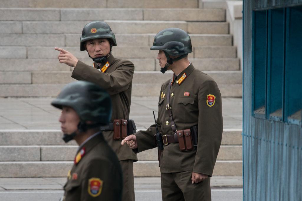
A North Korean soldier gestures before the military demarcation line separating North and South Korea at the truce village of Panmunjom on Oct. 12, 2017. AFP/Getty Images
Matthew Little
Updated:
North Korea’s nuclear tests may have destabilized the tectonic plates deep underground severely enough to cause a series of earthquakes and landslides that have shaken the region.
North Korea’s sixth and last nuclear test on Sept. 3 was by far its largest. Experts say the test may have damaged the underground stability in the area of its Punggye-ri nuclear test site. If true, the site may be too dangerous to use for nuclear tests going forward.
The latest quake was detected on Oct. 13 near the test site, according to the U.S. Geological Survey and South Korea’s weather agency.
The Korean agency said the quake was not manmade, making it similar to an earlier 3.2 quake recorded on Sept. 23 near Kilju, in the northeast of North Korea, just 3.7 miles from the test sight.
South Korean experts at the time said publicly that the previous quake could have been a tunnel collapse. Other experts with the weather agency told the Los Angeles Times on condition of anonymity that the agency thought it was unlikely the quake was caused by a tunnel collapse.
While the Chinese regime’s Xinhua News Agency reported the previous quake may have been caused by an explosion, the South Korean weather agency said the seismic waves and lack of sound waves proved that it was not from an explosion. 
Experts say the area isn’t naturally prone to quakes, which is one of the reasons why North Korea selected it as a test sight.
The recent quakes suggest geological stress from the bomb tests may have deformed the plate structures underground. This last tremor is the third, at least, since the 6.3 magnitude earthquake that resulted from the North’s Sept 3 nuclear test.
Comparison of seismic signals (to scale) of all six declared DPRK nuclear tests, as observed at IMS station AS-59 Aktyubinsk, Kazakhstan. (Courtesy the Comprehensive Nuclear-Test-Ban Treaty Organization

The most recent quake struck North Hamgyong Province in North Korea and was 1.86 miles deep with a magnitude of 2.7, according to the Korea Meteorological Administration.

The United States Geological Survey (USGS) said the quake a 2.9 in magnitude at a depth of 3.1 miles.

“This event occurred in the area of the previous North Korean Nuclear tests. The event has earthquake-like characteristics, however, we cannot conclusively confirm at this time the nature (natural or human-made) of the event,” said the USGS.

Experts in South Korea, however, say the quake was natural and suggests that the mountainous area of the nuclear tests may have been damaged.

“The explosion from the Sept. 3 test had such power that the existing tunnels within the underground testing site might have caved in,” Kim So-gu, head researcher at the Korea Seismological Institute told Reuters.

“I think the Punggye-ri region is now pretty saturated. If it goes ahead with another test in this area, it could risk radioactive pollution.”

The area has been plagued by landslides since North Korea tested its largest nuclear bomb to date. An analysis of commercially available satellite imagery by Washington-based 38 North—a project of John Hopkins University focused on North Korea—noted the damage.

Mountain that likely served as the test site for North Korea’s five nuclear blasts is at risk of imminent collapse.<br/>(Planet Labs Inc / CC by SA 4.0)
Mountain that likely served as the test site for North Korea’s five nuclear blasts is at risk of imminent collapse.
Planet Labs Inc / CC by SA 4.0
“These disturbances are more numerous and widespread than seen after any of the North’s previous five tests, and include additional slippage in pre-existing landslide scars and a possible subsidence crater,” reads a posting on the project’s website.
The group said water was draining from the area, which could be a result of the blast causing expanded cracks and fissures underground. That water flow could eventually bring radioactive materials to the surface with it, warned the project.

“The reason why Punggye-ri has become North Korea’s nuclear testing field is because this area was considered stable and rarely saw tremors in the past,” Hong Tae-kyung, an earth system science professor at Yonsei University in Seoul told Reuters.

“The recent small quakes suggest that the test might have triggered crust deformation.”

North Korea has hinted it may conduct its next nuclear test above ground in the Pacific Ocean.

Matthew Little
Matthew Little
Author
Matthew Little is a senior editor with Epoch Health.
Related Topics