New Year To Start with Weather Warnings in Australia

New Year To Start with Weather Warnings in Australia
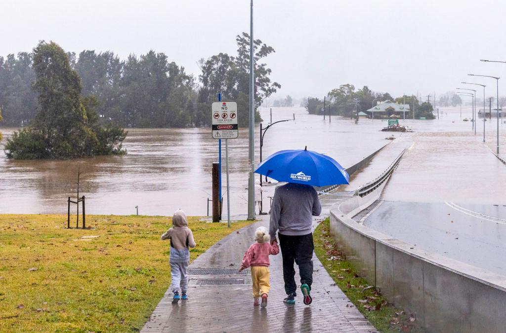
People view the flooded Windsor Bridge along the Hawkesbury River in the suburb of Windsor in Sydney, Australia, on July 4, 2022. Jenny Evans/Getty Images
AAP
By AAP
Updated:

Some residents across four Australian states will spend the final day of the year on high alert, with heavy rainfall tipped to create dangerous flood conditions.

Residents of low-lying areas of Menindee in far west New South Wales (NSW) near Broken Hill were urged to evacuate on Friday ahead of a flood peak expected to be higher than the previous 1976 record level.
Watch-and-act warnings were also issued for the nearby towns of Louth, Tilpa and Wilcannia.

In Victoria, severe thunderstorm warnings were in place for large parts of the state’s east, reaching from Sale in the south all the way to the NSW border and as far west as Shepparton.

On Friday afternoon, Victoria’s Omeo near Falls Creek recorded 25mm of rain in just 30 minutes.

The warning for heavy rainfall and potentially damaging winds extended into southern NSW, taking in parts of the Snowy Mountains, South West Slopes and Riverina.

In the 24 hours to Friday afternoon, NSW SES received 76 requests for assistance, four of which were flood rescues.

Flooding also continued along stretches of the Murray River in South Australia, with communities urged to remain vigilant as the peak passes Renmark and Berri, around 30km from the Victorian border.

The peak is expected to pass through Loxton over the coming week, reaching Murray Bridge, 80km southeast of Adelaide, between Jan. 3 and 14.

Moderate flood warnings were also issued for parts of the Murray River on the Victorian side, where levels peaked at Mildura Weir about mid-December and have been slowly falling ever since.

Residents on the Fitzroy River catchment in Western Australia were also told to take action, with moderate flooding expected from late Saturday.

Ex-Tropical Cyclone Ellie was forecast to remain relatively static over the Kimberley throughout the weekend, coinciding with a developing and likely strong monsoon surge and bringing widespread rainfall to the region.

Fast-flowing waters were tipped to rise quickly in Fitzroy Crossing, Noonkanbah and Christmas Creek.

Meanwhile, a flood watch is current for rivers and catchments across the northwestern and central Northern Territory.

The Bureau of Meteorology said locations that could be affected included Darwin, Nhulunbuy, Palmerston, Jabiru, Maningrida, Wadeye, Wurrumiyanga and Nauiyu.

It also warned residents in Daly, Tiwi and parts of the Arnhem and Gregory districts to batten down and take shelter from damaging wind gusts of up to 90km/h as a vigorous monsoon develops across the Top End from Friday into the weekend.

Related Topics