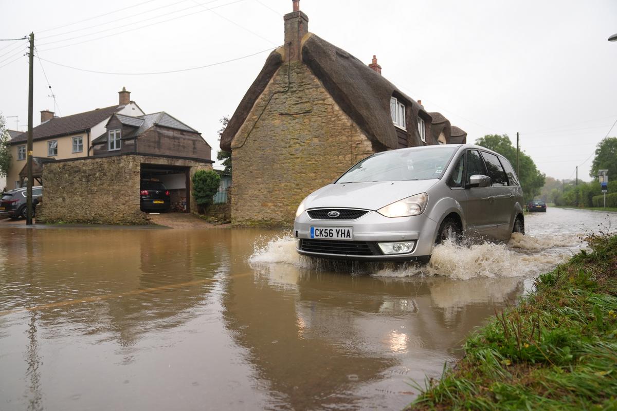
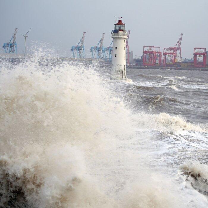
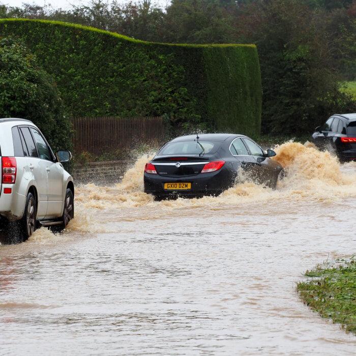
Britons are bracing for more flooding following a yellow warning by the Met Office for northern and eastern areas of England.
Heavy rainfall is expected to cause travel disruption and flooding risks, affecting Newcastle upon Tyne, Sheffield, Leeds, York, and Hull.
A drier interlude is expected to last until early Wednesday for most, with further rain likely later this week.
Met Office Chief Meteorologist Paul Gundersen said that parts of England and Wales will experience further rain spells on Thursday.
“If and where this falls on saturated ground, the sensitivity to potential impacts is increased. At present, the heaviest rain looks like falling across east-facing hills of northern England, although there is some uncertainty in the regional focus,” he said.
Thursday will likely see the highest rainfall totals across the Pennines and North York Moors, where 80–100 mm could accumulate during the day.
The Environment Agency has issued 25 flood warnings, which means flooding is expected, and 65 flood alerts, which means flooding is possible.
The agency has advised against driving through flood water and warned that just 30 cm of flowing water is enough to float a car. Emergency and road services have been on the ground, clearing blockages and supporting councils in their response work.
Cherwell District Council has reported more than a month’s worth of rain across Oxfordshire since Sunday and warned of train line disruption. The timetable between Banbury and London Marylebone has been significantly reduced.
Network Rail said it was closely monitoring the weather for quick response in repairs and flood defence systems.
Dropping Temperatures
Ahead of the weekend, meteorologists have warned of cooler temperatures for much of the UK.“After the rain through much of this week, things will be turning decidedly cooler into the weekend, with frost likely for much of the UK overnight on Friday and a more autumnal feel to daytime temperatures,” said Met Office Deputy Chief Meteorologist Brent Walker.
A north-westerly flow of air will bring cooler air from the north of the country. Temperatures into the weekend will drop, possibly below freezing, overnight for some.
Flood Resilience
This is not the first instance of elevated flood risks in the UK this year. January saw significant flooding problems, power outages, and severe disruption to road and rail transport following heavy rain from Storm Henk.The current Met Office outlook suggests autumn is likely to be wetter than usual. To better address flood risks and bolster the national response, the government on Sept. 12 launched the Floods Resilience Taskforce.
With 5.5 million properties in England at risk of flooding, the government seeks to speed up flooding preparation and deliver drainage systems.
Secretary of State for Environment, Food, and Rural Affairs Steve Reed said in a statement: “Flooding devastates communities and businesses across the country. For far too long the delivery of flood schemes has been too slow and left communities underwater.
“That is why the new Government is acting now to speed up the building of flood defences and bolster our emergency response.”


