According to the United States Geological Survey (USGS), the epicenter of the quake was about 50 miles northeast of Mount Everest and had a depth of around 6.2 miles. It occurred at 9:05 a.m. local time. The China Earthquake Networks Center recorded the quake as a magnitude 6.8.
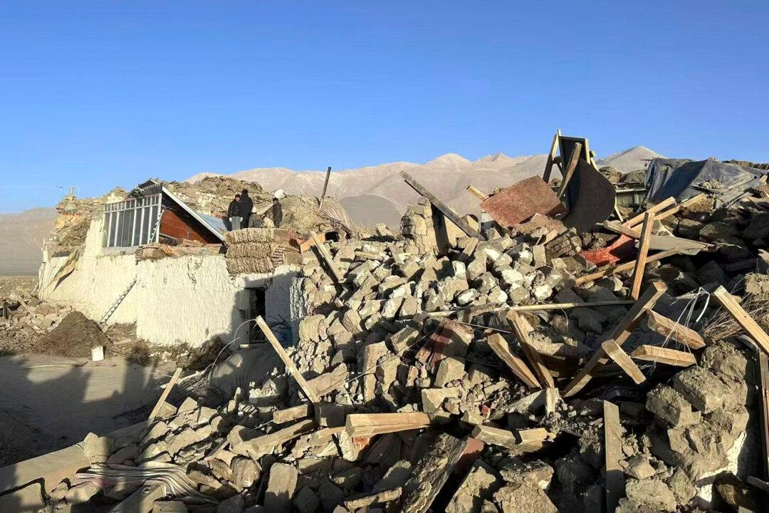
The actual number of casualties from such events may be much higher as the Chinese regime routinely suppresses or alters information.
State broadcaster CCTV said there are a handful of communities within 3 miles of the epicenter, which was 240 miles from Lhasa, the capital of Tibet, and about 14 miles from the region’s second-largest city of Shigatse, known as Xigaze in Chinese.
About 140 miles away in Nepal’s capital, Kathmandu, the earthquake woke up residents and sent them running out of their homes into the streets. No information was immediately available from the remote, mountainous areas of Nepal closer to the epicenter.
The area is prone to earthquakes, being on the fault line marking the collision zone of the Eurasia and Indian plates marked by the Himalayas.
There have been 10 earthquakes of at least magnitude 6 in the area where Tuesday’s quake hit over the past century, the USGS said.
In 2015, two earthquakes greater than magnitude 7 hit nearby Nepal, killing around 8,600 people and causing widespread damage.