A magnitude-5.6 earthquake has hit near the coast of central Peru, the U.S. Geological Survey reported.
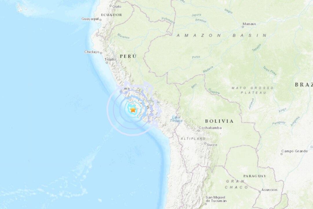
The earthquake, which occurred about 12 miles (19 kilometers) West of Rio Grande, Peru struck at 04:45 UTC on Jan. 25.
According to the USGS, the earthquake occurred at a depth of about 36 miles (58 kilometers) and has an exposed population of 450,000 people within 62 miles (100 kilometers).
The USGS has indicated a “Green” alert level which indicates a low likelihood of casualties, and less than $1 million in economic losses.
Peru is situated on the “Ring of Fire,” an area in the basin of the Pacific Ocean which is prone to frequent earthquakes and volcanic eruptions.
The Pacific “Ring of Fire” is in the basin of the Pacific Ocean, lined with 452 volcanoes, which make up 75 percent of the world’s total active volcanoes. About 90 percent of the world’s earthquakes strike along the “Ring of Fire.”