Hurricane’s Larry’s Track Shifts West, Residents of Newfoundland Warned to Prepare

Hurricane’s Larry’s Track Shifts West, Residents of Newfoundland Warned to Prepare
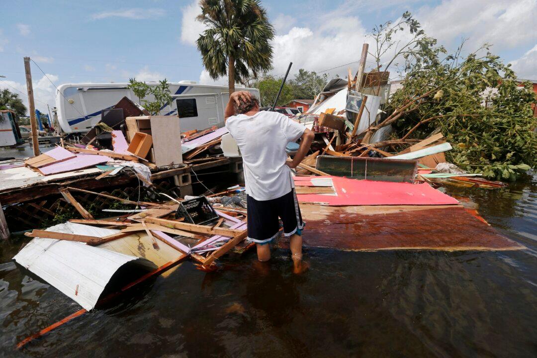
Larry Dimas surveys the wreckage of his trailer, which he rents out to others, in the aftermath of Hurricane Irma in Immokalee, Fla. on Sept. 11, 2017. AP Photo/Gerald Herbert
The Canadian Press
Updated:

HALIFAX—The expected track of hurricane Larry has shifted to the west, with the latest forecast suggesting the storm could make landfall in eastern Newfoundland early Saturday.

The Canadian Hurricane Centre in Halifax issued a tropical cyclone chart this morning that shows the centre of the storm crossing over the island’s Avalon Peninsula at 3 a.m. on Saturday.
At that point, Larry’s maximum sustained winds are expected to be 140 kilometres per hour — a Category 1 hurricane.

As of 5 a.m. Atlantic time today, Larry was 970 kilometres southeast of Bermuda, generating sustained winds of 185 kilometres per hour — a Category 3 hurricane.

The National Hurricane Centre in Miami issued a bulletin saying a tropical storm watch was in effect for Bermuda, and the federal agency advised those in southeastern Newfoundland to monitor the storm’s progress.

The hurricane is not expected to have much of an impact on the rest of Atlantic Canada, though rain is in the forecast for Friday and Saturday.