HALIFAX—Hurricane Teddy remains on track to pass through wide areas of Atlantic Canada on Tuesday and Wednesday, bringing fierce winds and heavy rainfall.
The Canadian Hurricane Centre says Teddy is currently a Category 3 system moving about 1,000 kilometers southeast of Bermuda with maximum sustained winds estimated at 204 kilometers an hour.
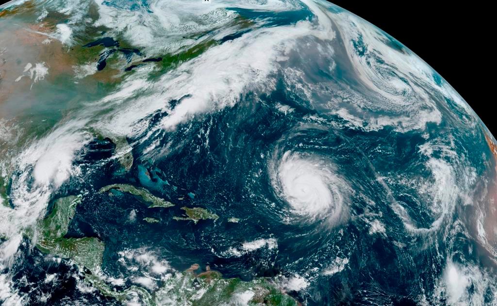
The storm is expected to pass east of Bermuda on Monday and begin to accelerate towards Nova Scotia.
Forecasters say when it reaches Canadian waters south of the Maritimes it will be a Category 2 hurricane, and is expected to transition to a “very dangerous” tropical storm as it moves though the region.
They say while the storm’s intensity is expected to diminish, the area to be affected by tropical storm force winds is likely to expand significantly, while winds could maintain hurricane force south of the forecast track.
At this point, forecasters say the highest rainfall amounts are likely for the southern Maritimes and the south coast of Newfoundland with pounding surf and a storm surge possible for parts of Nova Scotia, Prince Edward Island, the Magdalen Islands, and Newfoundland.