Canadians enjoying a brief relief from the onset of winter-like conditions may want to enjoy the temperatures while they can because The Weather Network is forecasting a colder than normal start to winter across most of the country.
The network’s winter outlook says a La Niña–a weather pattern characterized by cold ocean temperatures in the equatorial Pacific Ocean–is returning for a rare third winter, likely meaning colder and snowier weather through December.
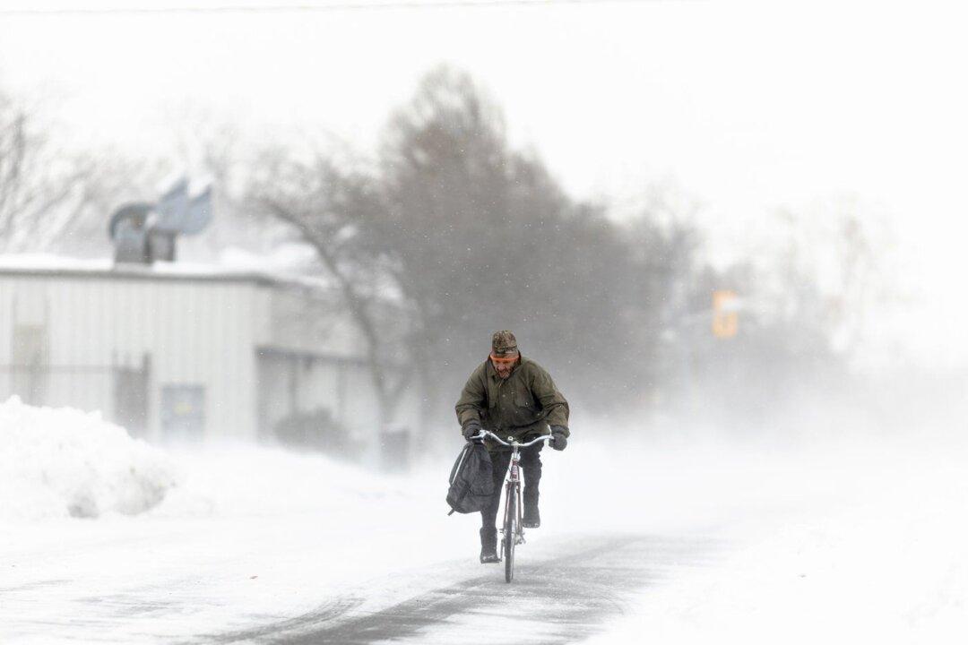
Scott says abundant alpine snow from a couple of early storms will set British Columbia up for an excellent ski season, while predicting the Prairies will be the coldest part of the country this winter.
He says Ontario and Quebec are on track to be cold and snowy for most of December and feature some messy storms, but the region is also expected to see two-to-three week periods with potential for thaw.
Atlantic Canada is currently expected to buck the national trend, with the Weather Network forecasting above normal temperatures for southern and eastern parts of the region and near normal temperatures elsewhere. Canada’s North is expected to see colder than normal temperatures across southern parts of Nunavut, the Northwest Territories and Yukon, but milder conditions across eastern parts of Nunavut and seasonally average temperatures elsewhere.
“If you’re worried by this forecast, thinking, ‘Oh my gosh, I just can’t deal with four months straight of cold and snow’ –it doesn’t look like that for most of the country,” Scott said in a telephone interview. “When it comes it’s going to be intense and then we'll have some pretty significant breaks during the stretch.”
Scott says January and February will be pivotal months in deciding whether this winter will be exceptionally cold and snowy, noting forecasters will have a better sense of what to expect during those months near the end of December.