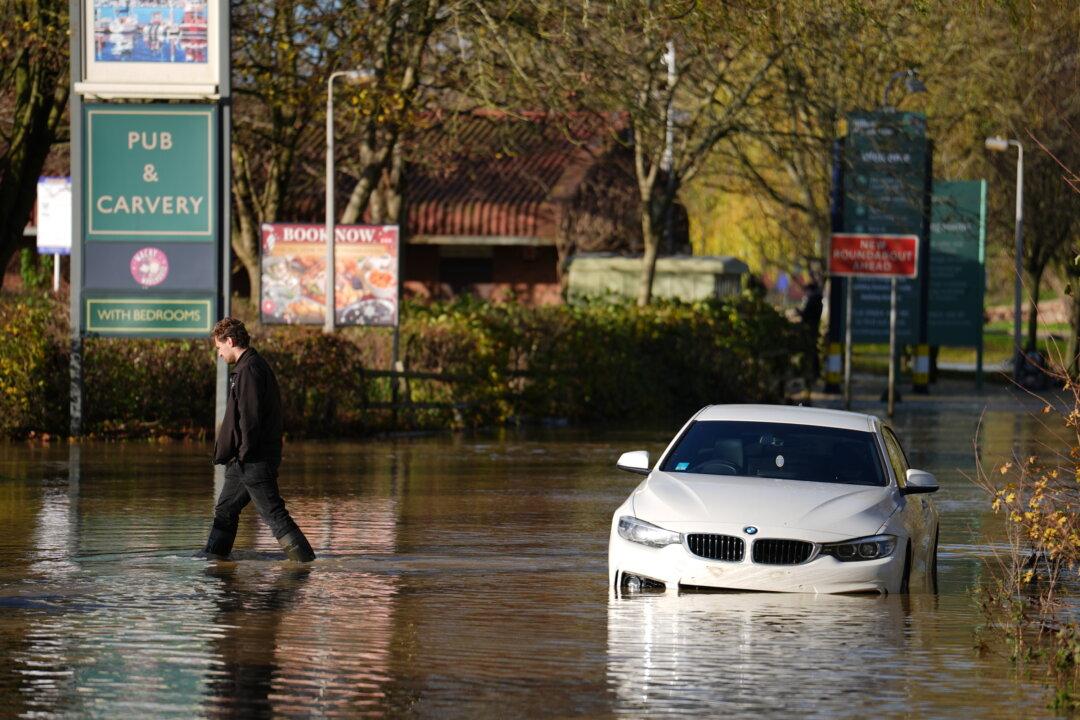
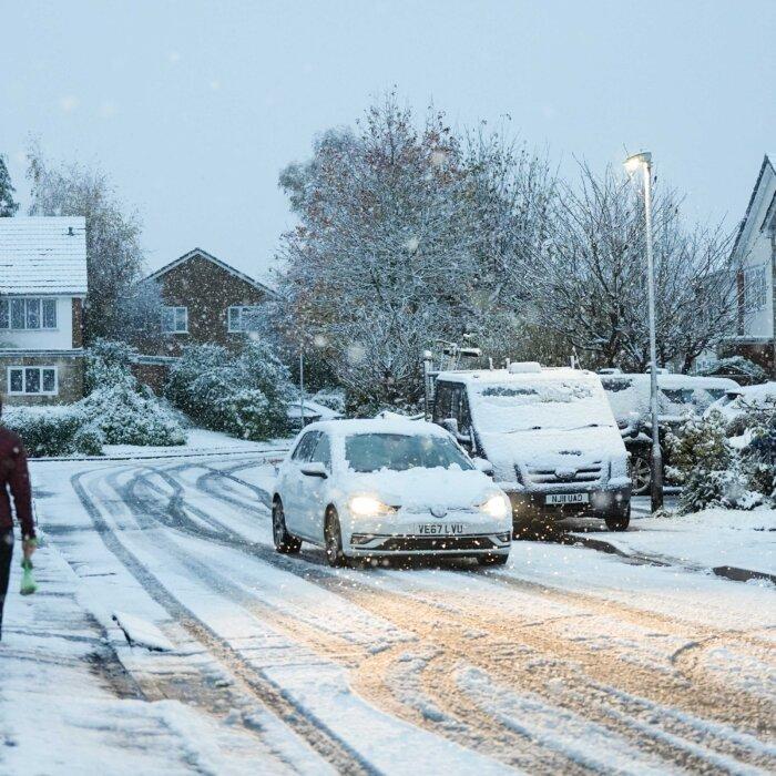
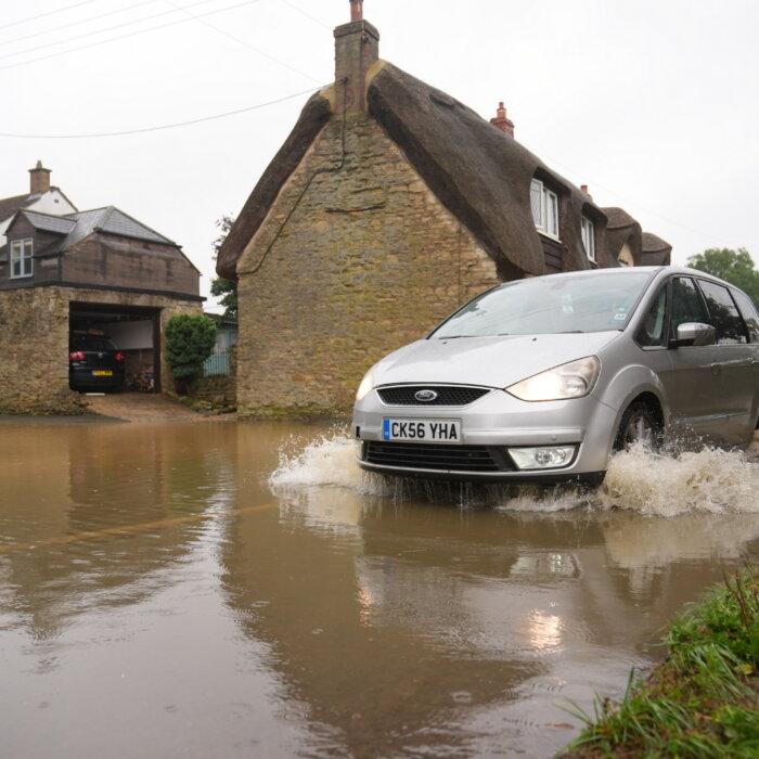
Transport services have issued travel disruption warnings across the UK amid severe flooding brought on by Storm Bert.
Storm Bert caused significant river and surface water flooding in parts of England on Sunday. Areas in the southwest, the West Midlands, and the Calder and Weaver valleys in the north of England have been impacted.
Much of Scotland is being battered with high winds, with Met Office yellow weather warnings for wind with gusts of up to 60 mph in place for the Western Isles, parts of the Highlands, Fife reaches as far south as Glasgow, and Edinburgh until 10 a.m. on Monday.
The government has issued 144 flood warnings where flooding is expected, and 180 flood alerts where flooding is possible.
As Storm Bert enters its third day, London Northwestern Railway reported severe disruption to services across the Birmingham–Northampton–London Euston route and the Crewe–Rugby–London Euston route.
Flooding blocked the line around Northampton station, including one of the largest depots near it. This means that train crew and unit availability across the entire route is extremely limited, owing to the River Nene bursting its banks.
Water levels on the River Nene are continuing to rise at Billing Aquadrome in eastern Northampton and nearby business parks. A severe flood warning is in place in the area, which means there is danger to life.
The government said the area should be evacuated and urged residents to call emergency services if in immediate danger.
Southern Railway reported disruptions on Monday to its services to and from Watford Junction, routes from Selhurst and Norbury into London Victoria, as well as routes into London Bridge and Victoria from Sutton.
Rising Water Levels
Flood warnings are in place in Wales, covering River Monnow, River Wye, River Towy, and River Dee.The heaviest rainfall has now cleared the area of River Monnow, and water levels are expected to fall. However, flooding of low-lying roads and land is ongoing and flooding to homes is expected.
Natural Resources Wales warned communities along the River Dee and River Wye that water levels are also still rising and said it will continue to monitor the situation.
On Sunday, Flood Duty Manager at the Environment Agency Andrew Hitchings said that teams are on the ground to reduce the impact of flooding and support local authorities in their response.
“We advise people to stay away from swollen rivers and urge people not to drive through flood water as just 30cm of flowing water is enough to move your car,” he said in a statement.
Environment Agency officers have been working to secure flood defences in Calderdale, West Yorkshire and clearing debris from screens so water can keep flowing in Ilfracombe on the North Devon coast.
Flooding minister Emma Hardy thanked the Environment Agency and emergency services for their work and urged people to check flood risk warnings.
“I urge people to check their flood risk and follow the latest guidance.”
The Met Office said showers and longer spells of rain will continue for the rest of Monday across northwest Scotland.
“Combined with melting snow this will lead a risk of some flooding. Showers will ease later in the evening,” it warned.
Met Office Meteorologist Greg Dewhurst said that Monday is expected to be a “mixture of sunny spells and showers.”
Frequent showers are expected in Scotland, Northern Ireland, northern England, Wales, and the West Country, with sunnier, drier weather across parts of the Midlands and southeast England, he added.
“We will see further rain at times, particularly as we head towards the middle of the week in seven counties of England and Wales. But generally the winds will be lighter compared to weekend. There will be less disruption, with temperatures near average with the risk of some overnight frost at times too,” Dewhurst said.


