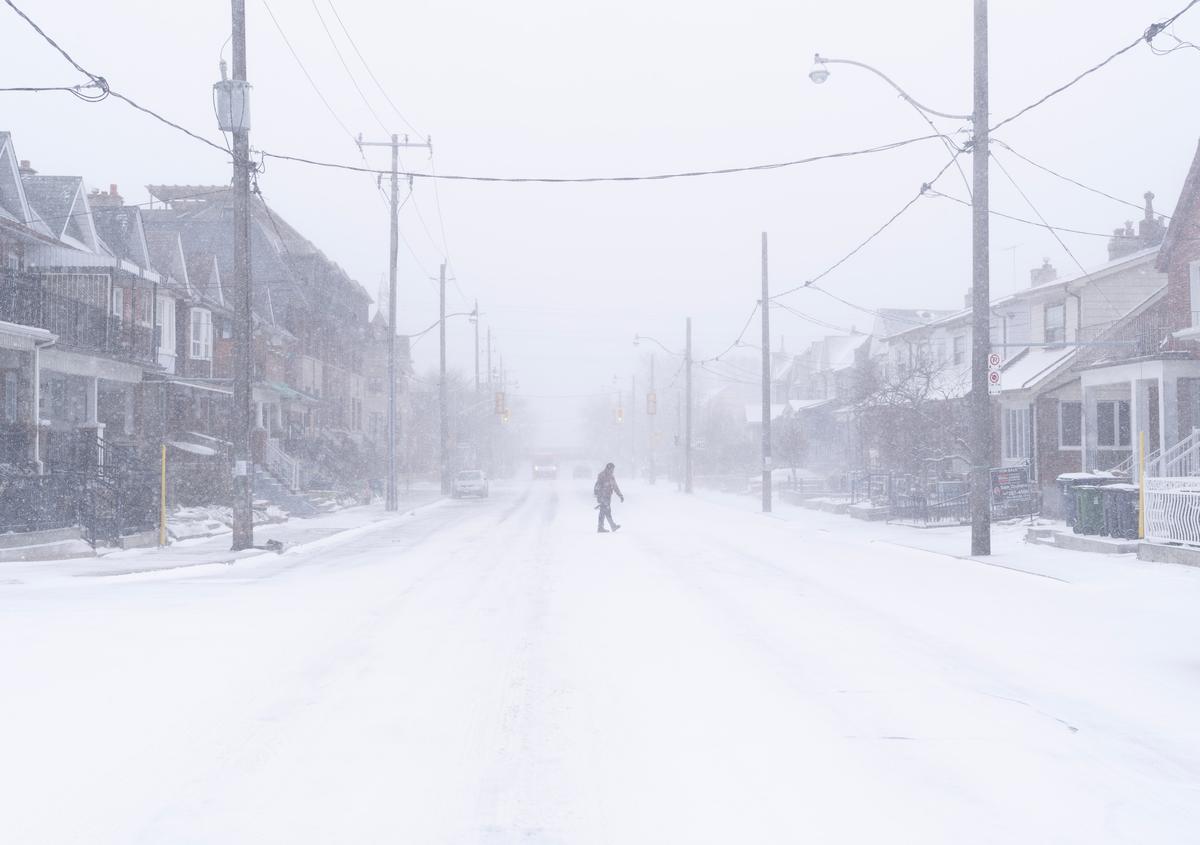
Residents of those regions can expect the coldest days in the final week of January to the beginning of February. According to the Almanac, frigid Arctic air will move in around that time, resulting in a sharp temperature drop particularly across the Prairies.
B.C. should also brace for wet and “unseasonably chilly” conditions, the report says, while Quebec and the Maritimes can expect near- to above-normal temperatures.
Above normal precipitation is expected over the eastern third of Canada, especially in the Great Lakes area, with Newfoundland and Labrador regions also forecast to see some snow, although most of it will be mushy and slushy due to expected above-normal temperatures, the Almanac says.
Ontario should see a “whirlwind” of both snow and rain, while Quebec can expect to be more white than wet this winter, with a substantial storm in mid-February. Overall, the best chances of having a white winter are in the Prairies.
The last week of January should bring active storm weather over most of the eastern half of Canada, including strong and gusty winds and frequent bouts of heavy precipitation, the forecast says.
Farmers’ Almanac Method
The Farmers’ Almanac has been providing its accurate long-range weather forecasts since 1818.Studying sunspot cycles, solar activity, tidal action of the moon, and planet positions are some of the techniques included in the Almanac formula. The reversal of winds in the stratosphere over the equator is also part of the mix.
Besides studying natural cycles, meteorologists also compare past weather patterns with current conditions to forecast future weather, the Almanac website says. It’s an approach called analogue forecasting and is useful in predicting weather events like storms.
The website notes that the moon’s behaviour is one of the most important predictive elements.
“The Moon acts as a ’meteorological swizzle stick,' occasionally stirring up atmospheric disturbances with its cyclical and predictable movements,” the website says.