Coastal British Columbia is experiencing its first fall storm of the season and while significant winds and rainfall are typical for the area, an extended drought has created conditions that are “more out of the ordinary,” says an Environment Canada meteorologist.
The drought has weakened trees, Alyssa Charbonneau said in an interview Monday.
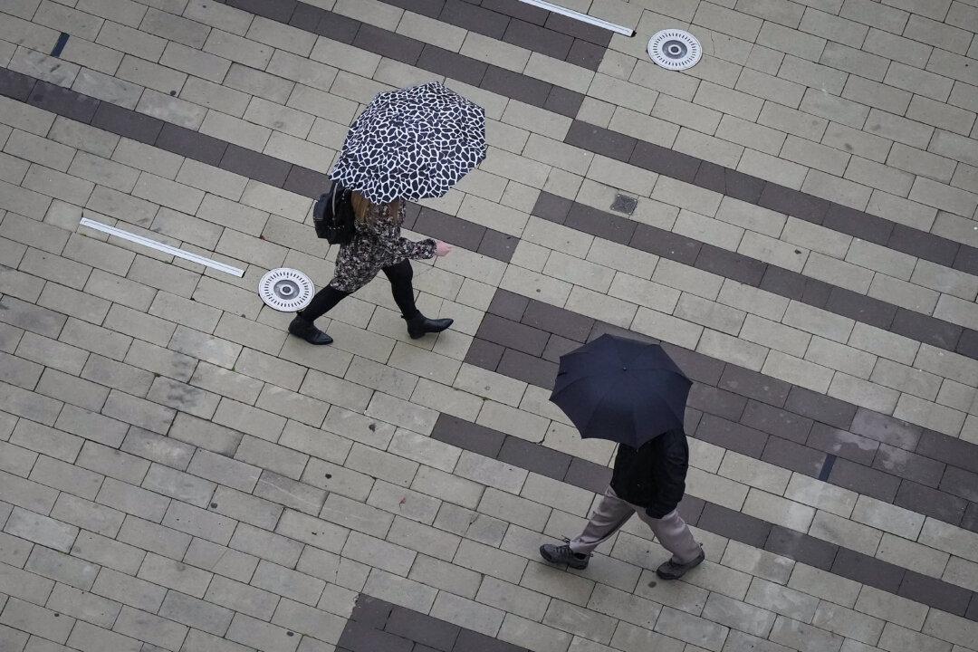
It leaves the potential for more fallen trees or branches, setting off power outages and the potential for injury or damage, she said.
BC Hydro’s website shows wind had knocked out power in dozens of spots along the Sunshine Coast and Vancouver Island by midday Monday.
Environment Canada issued warnings that cover both northern and eastern Vancouver Island, as well as Victoria, portions of the Sunshine Coast and Haida Gwaii.
Northern Vancouver Island and the central coast are warned to expect winds into the evening that should ease overnight, while winds of up to 110 km/h are expected on the east side of Haida Gwaii across Hecate Strait before easing Tuesday.
A rainfall warning has been issued for Howe Sound through Monday night, where 25 to 65 millimetres are expected.
A special weather statement is also up for all Metro Vancouver regions warning of rain and strong southeast winds, especially near the water where they could reach 50 km/h, gusting to 70.
High streamflow advisories have also been posted for most of southwestern B.C. in anticipation of up to 150 millimetres of rain on parts of Vancouver Island and in the mountains. The advisory, issued Friday, said most of the rivers and streams in the area have had extremely low flows after months of drought.
Meanwhile, British Columbia’s northern Interior, where most of the current wildfires are burning, remain dry and smoky.
Charbonneau said some moisture from the coastal weather system will push into the Interior, but it won’t be as widespread.
“Every bit helps,” she said of rain in the fire zones. “We’re not expecting the strong winds though, so that’s a positive.”
Environment Canada had warned Sunday of a so-called “bomb cyclone,” which Charbonneau explained is simply a way meteorologists describe a “storm that is intensifying rapidly.”
“In this case, this low-pressure system that approached the B.C. coast, and that’s bringing us our first fall storm did intensify like that,” Charbonneau explained.
“The central pressure dropped quite rapidly over 24 hours, and it did meet the qualification for a bomb cyclone, however it happened, thankfully, further out over the ocean.”
It has since tracked offshore, north off the B.C. coast, she added.
Though the impacts have been significantly lessened due to its track, she said the storm is expected to continue over the next few days.
“It’s just another reminder, I guess, as we’re heading into fall that forecasts change quickly, especially in this season.”
She suggests people be aware of the forecasts and be prepared, including ensuring a flashlight with fresh batteries is available and that drains are clear of leaves and other debris that could be tossed by the wind.