Cyclone Jasper Tracks Toward Coast as Station Evacuated

Cyclone Jasper Tracks Toward Coast as Station Evacuated
Cyclone Niran could intensify over the following two days. Ian Hitchcock/Getty Images
AAP
By AAP
Updated:
0:00

A rescue helicopter is set to evacuate a remote weather station as a tropical cyclone looms off the Queensland coast.

Four scientists will be picked up on Dec. 9 from Willis Island, about 450 km off Cairns in the Coral Sea, ahead of Tropical Cyclone Jasper’s expected arrival.
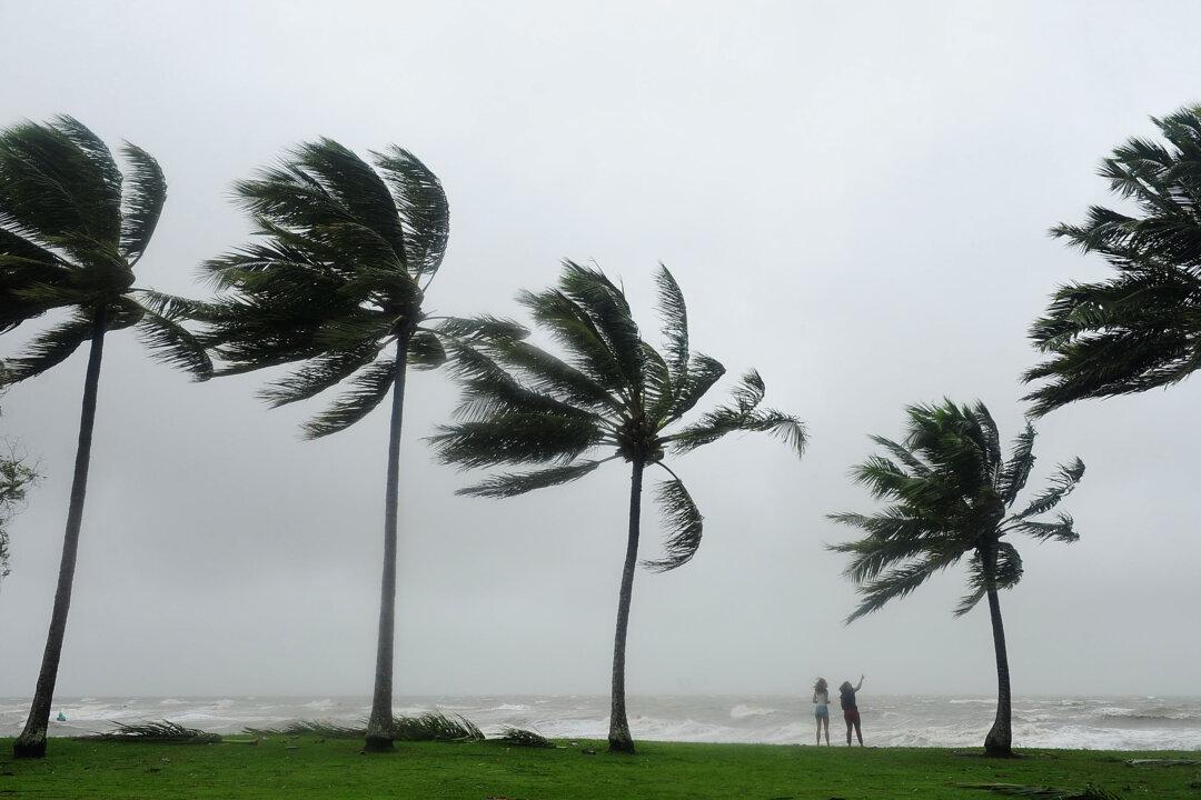
Cyclone Jasper intensified into a category 4 system on Dec. 8 with sustained winds of 195 km/h and gusts up to 270 km/h.

It has the tiny island’s station in its sights as it tracks toward the Queensland coast.

The cyclone looks set to impact landfall between Cooktown and Townsville by mid-next week.

Cyclone Jasper is set to weaken at the weekend, dropping to a category 2 by Dec. 11.

But it is expected to intensify again into a severe tropical cyclone as it approaches the north Queensland coast next week.

A cyclone watch—a warning issued when coastal impact is expected within 24 and 48 hours—could happen as early as Dec. 10.

“This is the time to start preparing your emergency kits if you are from Mackay north,” Queensland Police’s Acting Deputy Commissioner Shane Chelepy said.

Winds across coastal waters between Townsville and Mackay will start to strengthen on Dec. 9 with heavy showers forecast from Dec. 11, the Bureau of Meteorology said.

The state disaster centre has been moved to alert level, with local and district co-ordinators from Mackay to Cairns making preparations.

Queensland Fire and Emergency Services crews, including swift water rescue teams, are also primed to be deployed to cyclone-hit areas.

The system is the first tropical cyclone to form in Queensland waters in December in an El Nino year.

Related Topics