Cyclone Builds in Strength as It Zeros in Toward Queensland Coast

It is believed to be the strongest cyclone to hit the region since Cyclone Althea devastated north Queensland in 1971.
Cyclone Builds in Strength as It Zeros in Toward Queensland Coast
Cyclone Niran could intensify over the following two days. Ian Hitchcock/Getty Images
AAP
By AAP
Updated:
0:00

Lingering for days, Tropical Cyclone Kirrily has taken just hours to become one of the most powerful systems witnessed in north Queensland in decades.

Destructive winds up to 170km/h and “life-threatening” flash flooding are set to impact the region after Kirrily suddenly intensified.
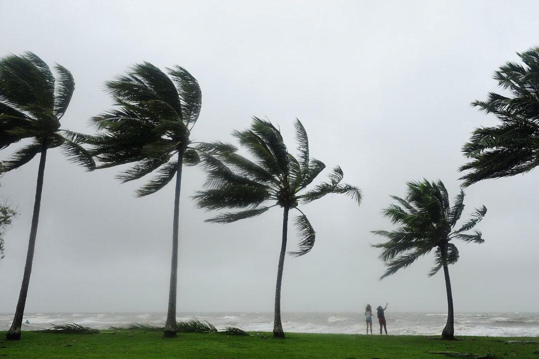
Kirrily is expected to cross the Queensland coast near Townsville on Thursday by 10pm AEST as a severe category three system.

It is believed to be the strongest cyclone to hit the region since Cyclone Althea devastated north Queensland in 1971.

It took days for a tropical low in the Coral Sea to finally develop into Cyclone Kirrily.

However, Kirrily appeared to make up for lost time on Thursday after it was initially upgraded to a category two system at 10am.

Five hours later, it had reached category three status, producing wind gusts up to 165km/h.

North Queensland shut down as the region braced for impact, with people told to stay indoors from 2pm AEST as winds intensified.

“You really don’t want to be outdoors with some of these gusts,” Townsville Mayor Jenny Hill said.

“It could drop a tree branch, it could pick up a piece of rubbish and hit you.”

Townsville airport was closed along with more than 120 schools.

Queensland Rail services north of Rockhampton were suspended and many Australia Day celebrations for Jan. 26 were cancelled as Kirrily approached.

People began to arrive at evacuation centres, with more than 30,000 homes already without power amid warnings it might not be restored for up to four days in some areas.

Bolstered by interstate arrivals, hundreds of emergency services are on standby across the north.

More than 40,000 sandbags had already been deployed by Thursday morning.

“We’re prepared and ready for the worst - now we wait and hope for the best,” Premier Steven Miles said.

Mr. Miles pre-emptively declared a disaster and requested federal and state assistance, including Australian Defence Force support.

The first sign of Kirrily was felt in the Whitsundays on Thursday morning, with off-shore reefs recording gusts up to 142km/h.

Winds up to 155km/h are about to impact between Ayr and Townsville, moving north to Ingham before “very destructive” winds of 170km/h when the system crosses.

“It’s not just the winds but is also the flooding that we want people to be aware of,” the Bureau of Meteorology’s Laura Boekel said.

The approaching cyclone is set to trigger a storm tide between Townsville and Mackay, producing larger waves and flooding.

Intense rainfall that could lead to “life-threatening and dangerous flash flooding” will be at the centre of the system.

There could be isolated totals of up to 300mm as Kirrily crosses the coast.

“We could see hundreds of millimetres coming through in just a period of six or eight hours as this system moves across the coast,” a bureau spokesperson said.

After it makes landfall, the system will rapidly weaken to a tropical low and move inland, bringing heavy rain to central and western Queensland from Friday.

It could also indirectly lead to showers and storms in the south.

Kirrily is the second cyclone to threaten Queensland in a month, with Jasper - a category two system - causing record flooding that devastated the far north in December.