A month’s worth of rain in 16 hours over Sydney has led to commuter chaos, flight cancellations and evacuation warnings.
Flash and riverine flooding was also felt in regional areas as a slow-moving upper-level low drenched central NSW on April 4.
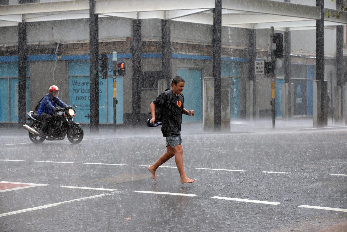
Train services faced major delays due to damaged equipment at Redfern in inner Sydney and dozens of flights in and out of the city’s international and domestic airport terminals were cancelled.
Power was also cut to inner city blocks including a major city centre court complex after water affected local electricity infrastructure.
Some 139mm fell over Sydney’s Observatory Hill by 4pm on April 5, exceeding the April average by 13mm.
Meanwhile, 130mm fell at Port Macquarie Airport, 110mm at Taree and 99mm at Erina Heights on the Central Coast.
Transport for NSW advised people to delay any non-essential travel on the roads and recommended boaters remain ashore as the dangerous storm system travels along Australia’s eastern seaboard.
A severe weather warning remained in place along the NSW coast from Morisset, south of Newcastle.
Locally intense rainfall and damaging wind gusts were expected about central parts of the coast and ranges on Friday night, before moving south on April 6 towards the Victorian border.
The severe weather risk should clear the Sydney metropolitan areas by sunrise, the Illawarra by late Saturday morning (April 6) and the south coast by Saturday afternoon, the Bureau of Meteorology said.
“More isolated severe thunderstorms may redevelop on Saturday afternoon,” it warned.
Numerous rivers - including the Hawkesbury, Nepean, Georges, Lower Hunter, Myall, Macquarie and Woronora - were on flood watch with major flooding possible on Sydney’s fringes at Menangle and North Richmond from Saturday morning.
Prepare to evacuate orders were issued for parts of the Hawkesbury, as well as low-lying Chipping Norton in the heart of western Sydney and Narrabeen on the northern beaches.
At Lismore, in the Northern Rivers region, an elderly man taking his chances with flooded roads on the way to visit his wife in hospital ended up stuck with water up to the roof of his four-wheel drive.
The river had risen quickly overnight, according to retired lawyer Keith Graham, who swam out to save the man.
“I have no idea what he was thinking,” Mr Graham told AAP.
It was one of several car rescues in recent days and followed the death on Wednesday night (April 3) of a 71-year-old man who appeared to drive into a swollen creek in Logan, southwest of Brisbane.
Authorities have issued warnings for parts of southwest Queensland with river levels expected to rise above a moderate level at Charleville later on Friday because of multiple days of heavy rainfall.
Floodwaters are not expected to exceed levee levels at their peak, leaving the town protected from inundation.
A flood watch is also in place for southern inland rivers.
The rain is expected to shift further south into Saturday, easing before the weather system moves over the Tasman Sea.
But flood dangers will linger for several days.
Warragamba Dam - which serves as Sydney’s main reservoir and was 96.3 per cent full - is likely to spill on April 8, Water NSW chief executive Andrew George warned.
An inland low and coastal trough joining forces over NSW are driving the deluge.
The ongoing intense downpours would drive “dangerous and life-threatening flash flooding” from Friday evening, the SES warned.
Over 24 hours, the SES responded to 823 incidents, including seven flood rescues.
There have been no reports of serious injuries or major damage so far.