Category 3 Hurricane Orlene Heads for Mexico’s Pacific Coast

Category 3 Hurricane Orlene Heads for Mexico’s Pacific Coast
A satellite image shows Hurricane Orlene at 11 a.m. ET on Oct. 2, 2022. NOAA
The Associated Press
Updated:

MEXICO CITY—Hurricane Orlene lost some punch, but remained a dangerous Category 3 storm on Sunday as it headed toward Mexico’s northwest Pacific coast between the tourist towns of Mazatlan and San Blas.

After growing into a hurricane Saturday, Orlene quickly added power, peaking as a Category 4 hurricane with maximum sustained winds of 130 mph (215 kph) early Sunday, according to the U.S. National Hurricane Center. But winds slipped back to 115 mph (185 kph) by midday.
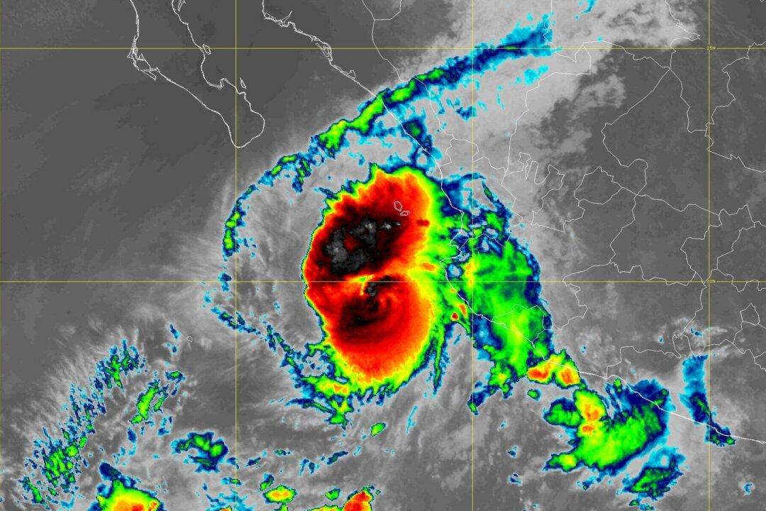
The storm was forecast to roar past the Islas Marias, a former prison colony being developed as a tourist draw, late Sunday or early Monday and then head for a sparsely populated, lagoon-dotted stretch of mainland by late Monday.

Orlene was centered about 85 miles (135 kilometers) west-southwest of Cabo Corrientes—a point of land that juts into the Pacific just south of Puerto Vallarta—and was headed north at 8 mph (13 kph) early Sunday.

A hurricane warning was in effect from San Blas to Mazatlan.

The center said the storm would likely strengthen more Sunday, then begin weakening as its moved closer to land. But it was still projected to hit as a hurricane.

It could bring flood-inducing rainfall of up to 10 inches (25 centimeters) in some places, as well as coastal flooding and dangerous surf.

The ports of Manzanillo and Puerto Vallarta were closed to ships and Mexico’s navy announced that ports including Mazatlan, San Blas and Nuevo Vallarta were closed to small craft.

Mexico’s National Water Commission said Orlene could cause “mudslides, rising river and stream levels, and flooding in low-lying areas.”

The hurricane center said hurricane-force winds extended out about 15 miles (30 kilometers) from the center and tropical storm-force winds out to 70 miles (110 kilometers).