‘Bomb Cyclone’ Hitting BC Sounds Scary, but Meteorologist Says Name Isn’t Alarmist

‘Bomb Cyclone’ Hitting BC Sounds Scary, but Meteorologist Says Name Isn’t Alarmist
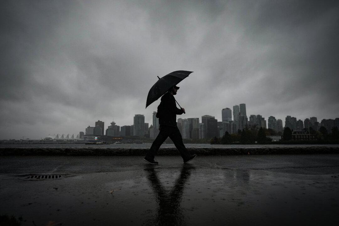
A man uses an umbrella to shield himself from the rain in Vancouver, on Oct. 19, 2024. The Canadian Press/Darryl Dyck
The Canadian Press
Updated:
0:00

VANCOUVER—Hurricane-force winds of more than 120 km/h are hitting parts of the British Columbia coast and more than 150,000 BC Hydro customers are without power as a “bomb cyclone” develops off Vancouver Island.

Environment Canada has issued more than 50 warnings, advisories and alerts related to the storm, covering most of Vancouver Island and other coastal areas and stretching deep into the Interior.
The weather agency says the worst of the storm is expected overnight when winds in the central and north coast could peak at 120 km/h, though the remote Sartine Island was already seeing winds exceeding 130 km/h Tuesday afternoon.

But it says risks, including coastal flooding, power outages and fallen trees, could continue long into Wednesday.

Meteorologist Cindy Day says there’s nothing alarmist about Environment Canada calling the system a “bomb cyclone,” which is a non-tropical storm caused by a rapid drop in atmospheric pressure at its centre.

Day says that when used appropriately, such scientific language is necessary and can help people better prepare for the impact of extreme weather events.

She said the term “bomb cyclone” had been used by scientists for decades to describe “a low-pressure system that is undergoing explosive cyclogenesis,” or the creation of cyclonic air circulation.

Day said terms like “bomb cyclone” and “atmospheric river” could help paint a picture that allowed people to better understand and prepare for various weather systems.

In British Columbia, an atmospheric river originating near Hawaii has long been known as a “pineapple express.”

“So, an atmospheric river — right away, people start to think, ‘OK, it’s a narrow band of moving water,’” Day said.

“It does give you the sense that this is going to be a steady event and that there’s not going to be time for the ground to absorb the rain. It'll continue to rain and eventually cause flooding because of that concentrated rainfall.”

In British Columbia, the government called for the creation of a scale to rank the power of atmospheric river events in 2021, in the wake of a devastating system that brought widespread flooding and shut down the Trans-Canada Highway and other key roads.

But Environment Canada said the next year that implementing such a scale for public warnings was premature.

Day noted that she had received “a lot of grief” for using the term “bomb” in relation to meteorological phenomena, with some accusing her of trying to sensationalize weather events.

“I really believe that if they’re used in the proper context, that they’re not alarmist,” she said.

“As long as the people know that they’re getting their information from a qualified source, and that source (or) that person is using the terms correctly and not shouting out ‘bomb’ every time there’s an area of rain coming in, I think it’s really important to understand those words and to take them seriously and to know that they’re based in meteorological fact, in science.”

Environment Canada said Tuesday that the bomb cyclone 400 km off Vancouver Island coast would remain offshore, but its effects would be widespread.

“Strong easterly winds have developed over North Vancouver Island this afternoon. These winds will intensify through the night,” it said, bringing powerful winds through mainland inlets and valleys of the central and north coasts.

It said winds would gradually weaken Wednesday night as the system drifted further offshore.

Heavily populated areas including Victoria and the Sunshine Coast were forecast to be hit by winds of up to 100 km/h.

The province said in a statement Tuesday that the Ministry of Emergency Management would work closely with communities to ensure preparedness and that the River Forecast Centre was monitoring weather patterns and river conditions.

It said the transportation ministry would also have maintenance contractors watching conditions so crews can respond quickly to flooding or debris buildup.

BC Ferries cancelled numerous sailings for later Tuesday between the Lower Mainland and Vancouver Island, including ships leaving from Tsawwassen, Horseshoe Bay, Swartz Bay and Nanaimo, citing a “deteriorating weather forecast for high winds in the Strait of Georgia.”

Sailings for the late afternoon or evening service on Tuesday have also been cancelled between Metro Vancouver and the Sunshine Coast and Vancouver Island and the northern Gulf Island.

The agency said in a statement that those changes were done “out of an abundance of caution,” adding there is also a “strong risk” of cancellations on major routes on Wednesday.

“As things can change quickly in the event of severe weather, we encourage all passengers to check for updates before travelling, and to remain flexible with travel plans today and tomorrow, as the weather conditions can change rapidly,” it said Tuesday.

The warnings about the bomb cyclone came after much of Metro Vancouver saw its first snowfall of the season Monday night.