Winter Storm Warning Ends in Southern Manitoba, but More Snow Expected

Winter Storm Warning Ends in Southern Manitoba, but More Snow Expected
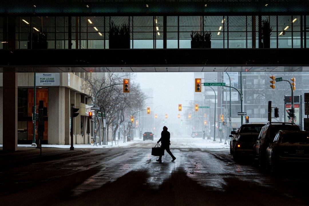
A man carrying a food delivery bag makes his way across York Avenue underneath a skywalk in Winnipeg on April 13, 2022. The Canadian Press/Mike Sudoma
The Canadian Press
Updated:

Environment Canada has ended a winter storm warning for southern Manitoba where a weather system roared through with high winds and plenty of snow.

The province says preliminary data indicates 15 centimetres to 35 centimetres of snow fell in the south and the Interlake and Parklands regions, while some other areas received between 40 and 50 centimetres.
Another five to 15 centimetres of snow is expected in southern and central Manitoba by Friday afternoon.

Meanwhile, Manitoba is stopping the use of two flood control structures as water levels recede.

The Hydrologic Forecast Centre in Winnipeg says the Portage Diversion is no longer being used and the operation of the Red River Floodway is expected to end Friday.

The province activated the floodway last week after two weather systems brought precipitation to the Red River basin. The Portage Diversion was opened last weekend to flush out ice and prepare for normal operation.

The forecast centre was monitoring this week’s storm to determine its effect on water flows and levels.

Earlier blizzard warnings for parts of southeastern Saskatchewan were lifted late Wednesday.