The Winds of Winter
The polar vortex is an enormous, three-dimensional ring of winds that surrounds the North and South poles during each hemisphere’s winter. These winds are located about 10 to 30 miles (16 to 50 kilometers) above Earth’s surface, in the layer of the atmosphere known as the stratosphere. They blow from west to east with sustained speeds easily exceeding 100 mph (160 kph). In the darkness of the winter polar night, temperatures within the polar vortex can easily get lower than minus 110 F (minus 79 C).Fortunately for everyone, the stratospheric polar vortex itself won’t appear outside your front door. The polar vortex does influence winter weather, but it is more like a domino – when it is knocked over, it can start a chain of events that later result in wild weather.
The Domino Effect
Since the Earth’s atmosphere is one giant shell of air that moves like a fluid, the polar vortex is interconnected with the weather that moves around the Earth at lower altitudes. Normal variations in the jet stream and weather can disturb the structure of the vortex in the stratosphere. Like an elastic band, the vortex usually rebounds back to its normal shape and size, maintaining its strong winds and low temperatures.But sometimes, these weather and jet stream variations can knock the polar vortex off balance, causing significant wobbles in its shape, location, temperatures and winds. When this happens, the structural integrity of the polar vortex begins to break down. If this happens often enough over a period of time, everything can go haywire with the polar vortex as the winds break down and the vortex warms up.
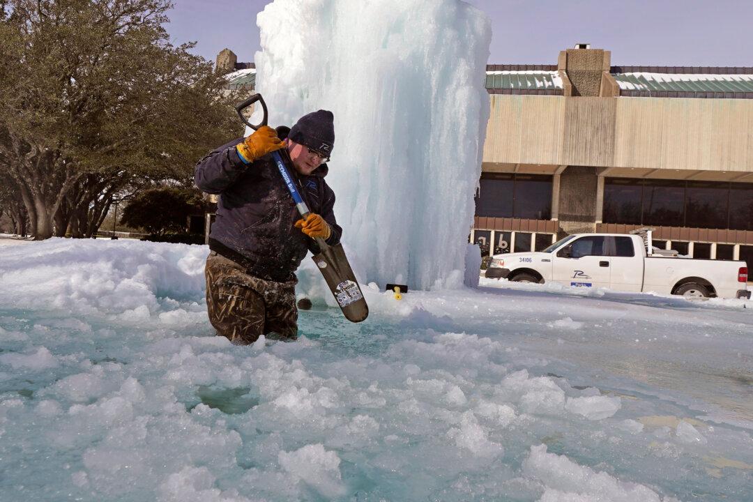
At this point, the domino has tipped over: Eventually the jet stream feels the effects of the weakened polar vortex above, and it can begin to undulate. When the jet stream gets wavy, it can dip farther south, bringing cold air and winter storms with it.
A Strong Polar Vortex Means Warmer, Not Colder, Weather
In some winters, weather systems barely affect the polar vortex at all, allowing the vortex to grow colder with faster winds. This can have the opposite effect on the jet stream, causing it to keep cold Arctic air from the polar regions locked up north. This is what happened during the Northern Hemisphere winter of 2020, when the polar vortex was extraordinarily strong and many regions experienced an exceptionally warm and mild winter.Calling any blast of cold air a polar vortex is wrong. The behavior of the polar vortex doesn’t just portend colder weather – it can also foreshadow much warmer weather. Most of the time the polar vortex has little influence on winter weather as it flows like normal, miles above the surface. But forecasting and monitoring huge disturbances to the polar vortex allows us to anticipate the chain of events that may leave feet of snow and frigid weather at your doorstep.