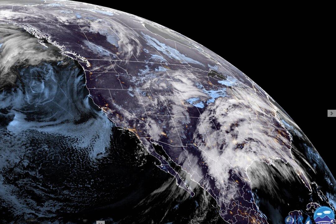
A significant storm that has already arrived in California is expected to hit several regions across the United States this week, bringing a swath of heavy snow and thunderstorms that could lead to hazardous travel conditions.
According to the alert, the areas most at risk of severe weather on Monday extend along a 1,500-mile-long swath, home to at least 100 million people, from central and eastern Oklahoma into far southeast Kansas, central Missouri, and southern Illinois.
“At least some risk of severe storms will extend from central Texas northeast into much of Illinois, Indiana, and southwest Ohio,” the alert reads.
The severe weather risk for Tuesday is expected to extend across parts of Tennessee and the Ohio Valley region into the mid-Atlantic states, according to the weather service.
“The severe weather threat will continue into Tuesday across parts of the Ohio River Valley and Mid-Atlantic regions where all hazards will again be possible,” the agency stated.
Mid-Week Forecast, Storm Arrives in the East
In another update on Sunday afternoon, the agency said that the “significant winter storm” is also expected to bring heavy snow and gusty winds to portions of the Great Lakes and Northeast from Wednesday through Friday.“Secondary low pressure development along the coast is likely to bring heavy snow and mixed freezing rain/sleet to the Northeast late Wednesday through Friday,” the alert reads.
“A storm system passing through the central and eastern U.S. will bring the threat of severe weather and flash flooding as well a risk of fire weather over the next couple of days,” NOAA stated in its alert.
“The Storm Prediction Center has issued an Enhanced Risk (level 3/5) of severe weather for the chance of very large hail as well as damaging winds and a few tornadoes. Some more isolated storms will be possible further south into northern Texas, with a Slight Risk in place,” it added.
NOAA said that strong winds of 40 to 50 mph, with gusts as high as 75 mph, combined with very dry conditions over portions of the Southern High Plains have prompted “another critical risk of fire weather” from the Storm Prediction Center on Monday.
“A more isolated threat extends southwestward ahead of the cold front into the Tennessee Valley, as well as eastward along the boundary into the Mid-Atlantic, with Slight Risks in place,” it stated.
The NWS has advised people to be alert as the combination of heavy snowfall and strong winds may result in dangerous travel conditions owing to low visibility and snow-covered roadways.
Snow Blankets California’s South
The storm has already brought more rain and mountain snow to southern California, a region already drenched by winter weather.
The slow-moving storm was expected to unleash 1 to 3 inches (2.54 to 7.62 centimeters) of rain, as well as up to 2 feet (0.61 meters) of snow in the mountains above 6,000 feet (1,828.80 meters) of elevation, by Monday.
While the National Weather Service’s office in Oxnard had not had any reports of major flooding or mudslides by midday Saturday, forecasters issued a flood watch through Sunday afternoon in parts of San Luis Obispo, Santa Barbara, Ventura, and Los Angeles counties.
The storm left the San Francisco Bay Area on Friday and “just marched right down the California coast” overnight, bringing most of the rainfall to the Los Angeles area, weather service meteorologist Ryan Kittell said.
The storm then parked itself over the region, where it is expected to stay until Sunday night or into Monday. Showers and possible thunderstorms, with the potential for damaging winds and a tornado, are forecast for that time period.