Researchers are monitoring a large sinkhole that appeared earlier this month in the small town of Daisetta, Texas.
On April 2, the ground on the northwestern flank of the Hull salt dome began cracking and disappearing into a sinkhole. It is not the first time this town of about a thousand residents has experienced a sinkhole.
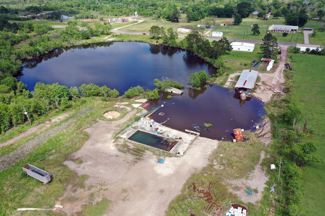
In 2008, a sinkhole formed rapidly, engulfing structures and trees over a period of a couple of days. The new sinkhole is situated on the southwest side of the larger sinkhole.
Researchers Collect Data
Salt domes are relatively common along the Texas-Louisiana Coastal Plain, according to a report from researchers at the Bureau of Economic Geology at the University of Texas at Austin.On April 8, the research team, led by research scientist Jeffrey Paine, visited the new sinkhole to acquire post-collapse data, including measurements and water depth of the sinkhole, which will be used to monitor the site and provide critical information for emergency responders.
The maximum water depth of the 2023 sinkhole is approximately 30 feet deep, the report showed.
In comparison, the 2008 sinkhole water has a depth of about 75 feet, similar to the depth reported shortly after it collapsed.
Currently, the sinkhole water levels are equal.
The 2023 “nearly circular sinkhole” has a diameter of about 230 feet. It is surrounded by scarps, fissures, and cracks, similar to the older sinkhole.
“Near-term growth of the sinkhole to the edge of the currently fissured halo and perhaps beyond is possible, but the collapsed area could also not expand much beyond its current extent (similar to the limited growth of the larger 2008 sinkhole),” the researcher wrote in their preliminary findings.
A spokesperson from the Texas Commission on Environmental Quality (TCEQ) told The Epoch Times in an email that the agency is working to identify the possible chemicals and pollutants recovered from the sinkhole.
“The TCEQ, Liberty County Office of Emergency Management, Texas Division of Emergency Management, and the U.S. Environmental Protection Agency has reviewed the site and are addressing the observed materials throughout the area,” TCEQ said.
More About Salt Domes
The National Strategic Petroleum Reserve uses salt domes to create salt caverns for storing the nation’s crude oil reserves for emergencies.Typically, these formations are geologically stable.
Two sites are in Texas—Bryan Mound and Big Hill, and two are in Louisiana—West Hackberry and Bayou Choctaw.
These caverns can store from 6 to 37 million barrels of petroleum with a typical capacity of 10 million barrels, according to the government agency.