SEATTLE —Schools closed across Washington state and the Legislature canceled all hearings Monday with winter snowstorms pummeling the Northwest again as a larger weather system wreaked havoc in the region and even brought snow to Hawaii.
Seattle’s metro area had already been hit by three snow storms this month and the National Weather Service reports that Seattle-Tacoma International Airport has received 20.2 inches (51 centimeters) of snow so far in February, the snowiest month in more than 50 years.
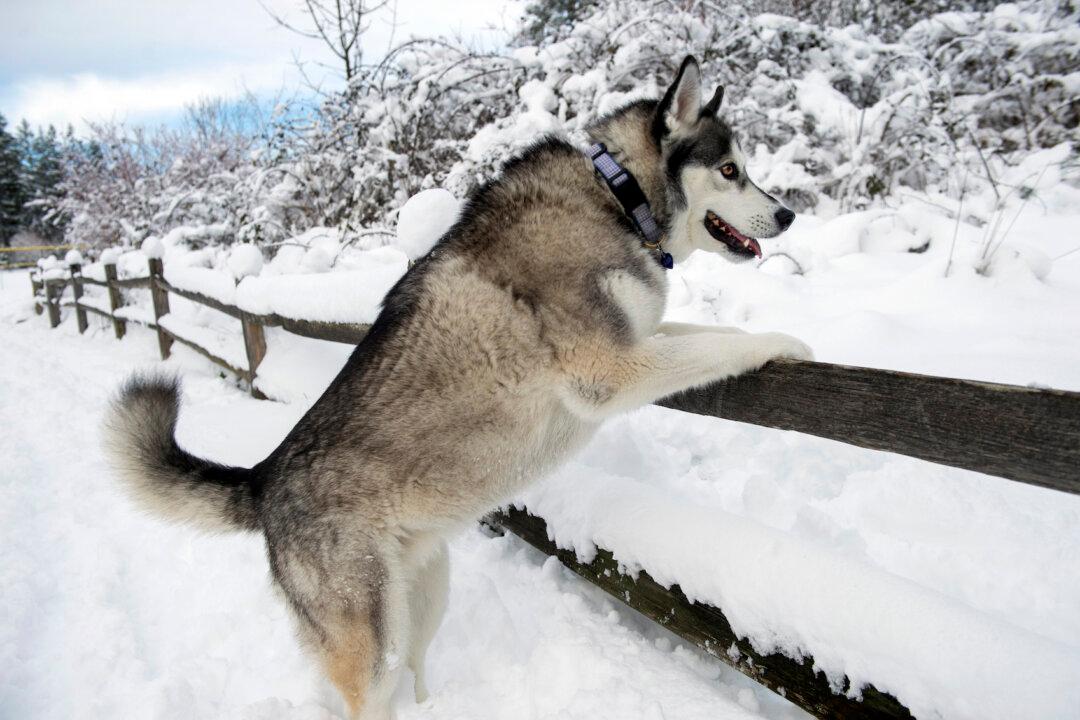
The storm that hit Seattle Sunday dumped up to 4 inches (10 centimeters) of snow. More than 6 inches (15 centimeters) of snow fell on Monday with rain and snow expected Tuesday as a lingering jet stream drives cold arctic air into the normally temperate region, and was part of a larger cycle that has also driven snow as far away as Hawaii.
In the state capital of Olympia, lawmakers cancelled meetings and the University of Washington in Seattle and Washington State University in Pullman called off classes.
And as far away as Northern California, Humboldt County beaches that have not had snow in more than 15 years received a dusting and blizzard conditions caused whiteouts on mountain roads.
In Seattle, the snow’s effects were amplified by a prolonged stretch of cold temperatures.
“You’ve got storm after storm sliding down the sweet spot to produce low-level snow,” said Kirby Cook, a meteorologist at Seattle’s National Oceanic and Atmospheric Administration office. He described weather systems pulling cold air from Canada and combining it with moist air pulled east from the Pacific Ocean.
When snow does fall in the area, normally enough warm air is drawn from over the Pacific to melt it soon after it falls, but the steady stream of cold air has kept normally-mild western Washington colder than normal — and let the snow build up.
“It’s really rare for us to maintain this pattern,” Cook said.
Joe Zagrodnik, an atmospheric scientist at the University of Washington, said the larger system at work — namely the position of a cold jet stream — was also driving warm temperatures in Alaska and unusual weather in Hawaii.
With a north-south ridge of high pressure situated off the coast of Washington and Canada, Zagrodnik said, cold air being drawn southward inland is being replaced by warm air moving north offshore, driving temperatures up in parts of Alaska even as Seattle freezes.
And a chunk of cold, low-pressure air separated from the main flow is also drifting further west. Known as a Kona Low, the system caused unusual snow on the island of Maui.
Hawaii officials said the blanket of snow at Polipoli Spring State Recreation Area is likely the first for any state park. Polipoli is at 6,200 feet (1,900 meters) and is possibly the lowest elevation snow ever recorded in the state.
When Lance Endo’s friend camping at a state park on Maui texted him early Sunday that there was snow he jumped in his truck and drove more than hour to see it.
“I just wanted to go play in the snow,” Endo said.
Endo headed back down from the park on the slopes of Haleakala, where the weather service says there were snow drifts of about 4 feet (1.21 meters), to bring his two children up to the park. Endo said he wanted his kids to “see something that’s very unusual in Hawaii.”
In Washington, Zagrodnik said, February’s total already sets the month as the snowiest single month in the state since November of 1985, and the snowiest February on record. Figures for the state are usually taken from the nearby airport, despite a seven-year gap at the site in the 1990’s. The cold snap stands out as an anomaly amid a trend of winters in Washington state becoming more mild since as early as 1900, driven by global warming, said assistant Washington state climatologist Karin Bumbaco.
Not every decade is warmer than the previous, said Bumbaco, noting that some mid-century years had produced snow records, but overall winters have been trending distinctly warmer.
Elsewhere around the U.S., the Midwest braced for more ice storms. Authorities say a northeastern Indiana man and his two daughters died after his car slid off a snow-covered rural road and into a river.
In the Northeast, a winter storm is expected to dump up to 2 feet (61 centimeters) of snow in the high elevations. New Jersey Gov. Phil Murphy declared a state of emergency for the state that goes into effect at midnight. New York City is expected to get 2 to 4 inches (5 to 10 centimeters) of snow on Tuesday before it all changes over to sleet and rain. Schools across the region are closing or delaying start times because of the weather.