A strong snowstorm will hit the mid-Atlantic and Northeastern United States starting on Sunday and lasting until Tuesday—with tens of millions of Americans coming in the path of the weather system.
“Heavy snow and a wintry mix will produce hazardous travel from portions of the Great Lakes and Ohio Valley to the Mid-Atlantic, including the National Capital Region,” said the National Weather Service on Sunday. “The system may transition into a powerful Nor'easter early next week.”
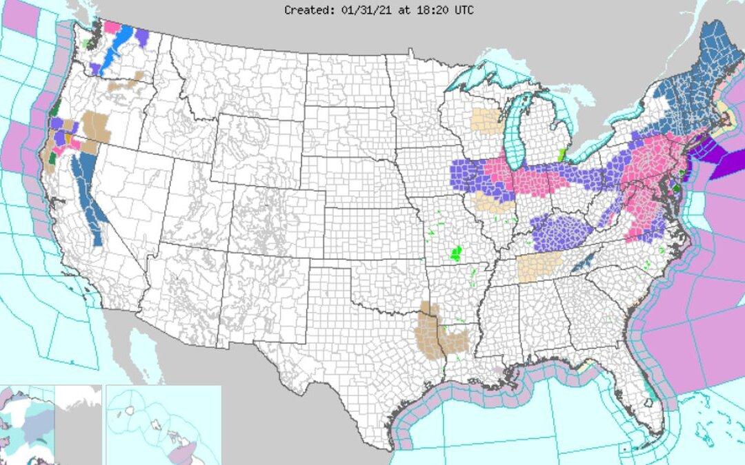
A number of winter storm warnings and advisories were issued across the East Coast.
“As a storm shifting through the Ohio Valley slowly moves east, a secondary storm will take shape along the Carolina coast later Sunday,” AccuWeather Senior Meteorologist Danny Pydynowski said via the website. “The coastal storm will then become the dominant storm of the two, strengthening into a full-blown nor'easter along the Atlantic coast.”
Some areas are expected to get as many as 24 inches, or two feet, of snow, according to the National Weather Service. New York City could see up to that amount starting on Sunday night and lasting until Tuesday morning, forecasters warned on Sunday.
“Snow is expected to arrive in New York City this evening, but may take until after midnight until it really becomes steady,” Pydynowski wrote. “Boston will start to get in on the action later Monday afternoon.”
“The snow over the Upper Midwest will slowly wind down today into Monday morning. The system will produce snow over parts of the Ohio Valley into the Mid-Atlantic with rain over parts of the Southern Ohio Valley/Tennessee Valley into the Southeast through today. Areas of rain/freezing rain will develop over parts of the Central Appalachians/southern Mid-Atlantic today and into parts of the northern Mid-Atlantic on Monday,” according to the agency.