Severe storms will track across parts of the Southeast Saturday after causing damage in northeast Texas on Friday.
Severe thunderstorms capable of damaging winds, hail, isolated tornadoes, heavy rainfall, and flash flooding were forecast to continue over the Lower Mississippi Valley into Saturday morning.
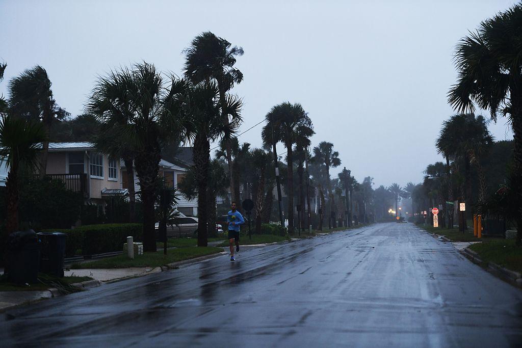
These storms will push east into the Tennessee River Valley and southern Appalachians by the afternoon and into the evening.
The storms will then track into the Northeast on Sunday, bringing rain and gusty winds. Widespread rainfall totals of 1 to 2 inches are expected.
Severe weather is already blamed for damage Friday night in northeast Texas, with trees reported down in Cass County.
Someone drove a truck into a pine tree that fell onto a road in McCleod, Texas, causing at least one injury, said Don Blackwell of the Cass County Fire Department.
“Trees and power lines are down everywhere,” he said.
Electricity was knocked out in the area, he said.
No tornadoes were confirmed as of Saturday morning. Earlier Friday evening, a tornado watch had been in place.
A second area of isolated severe storms is also possible Saturday across southern Florida, where the main threat will be damaging winds.
In the West, more than 20 million people are under excessive heat alerts across southern California and the desert Southwest.
Temperatures across the Southwestern United States climbed into the 90s and triple digits Friday, and several cities broke high temperature records.
The peak of the heat across Southern California was Friday, but this heat will shift east into the desert Southwest through the weekend.