Scientists Say San Francisco Bay Area Is Sinking

Like other reclaimed land around the world, the ground is sinking due to sediment compaction—at a rate of 0.4 inches per year in some areas.
Scientists Say San Francisco Bay Area Is Sinking
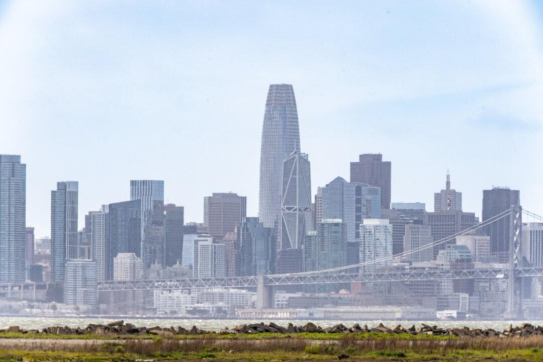
The skyline of San Fransisco, Calif., on March 25, 2024. John Fredricks/The Epoch Times
Ilene Eng
Updated:
0:00
A recent NASA-led study revealed that certain areas along California’s coast are sinking. While the change in elevation may be small, researchers said it could eventually affect the coastal community through increased flooding or other risks.

In the report released Feb. 10, the San Francisco Bay Area—specifically, San Rafael, Corte Madera, Foster City, and Bay Farm Island, is seeing “the land subsiding at a steady rate of more than 0.4 inches (10 millimeters) per year due largely to sediment compaction.”
Because of this subsidence, local sea levels are expected to rise at an accelerated rate.

Researchers used satellite radar to pinpoint areas along California’s coast where there are changes in vertical land motion and sea levels.

According to the report, “To capture localized motion inch by inch from space, the team analyzed radar measurements made by ESA’s (the European Space Agency’s) Sentinel-1 satellites, as well as motion velocity data from ground-based receiving stations in the Global Navigation Satellite System.”

They then compared the observations of the same locations between 2015 to 2023.

Parts of California that are sinking the fastest are in the Central Valley, up to 8 inches per year. This is due to groundwater withdrawal during times of drought or rain which can deflate or inflate underground aquifers.

In Northern California, marshlands in San Francisco, Monterey bays, and Sonoma County’s Russian River estuary are sinking, likely due to erosion. Other areas, such as the Big Sur mountains below San Francisco and Palos Verdes Peninsula in Los Angeles, are moving downward because of slow-moving landslides.

Scientists also found that not all areas along California’s coast are sinking. For example, Santa Barbara is increasing in elevation by several millimeters per year due to a replenishing groundwater basin. Long Beach is also rising, “where fluid extraction and injection occur with oil and gas production,” according to the report.

The study predicts that by 2050, California sea levels will be 6 to 14.5 inches higher than 2000 levels. Melting glaciers and ice are the main reasons for the higher water levels.

“In many parts of the world, like the reclaimed ground beneath San Francisco, the land is moving down faster than the sea itself is going up,” said Marin Govorcin, a scientist at NASA’s Jet Propulsion Laboratory in Southern California.

Researchers noted that the scale and speed of an elevation’s change can be unpredictable, due to both human factors like groundwater pumping and wastewater injection, and natural factors such as tectonic activity.

Ilene Eng
Ilene Eng
Reporter
Ilene is a reporter based in the San Francisco Bay Area covering Northern California news.
twitter