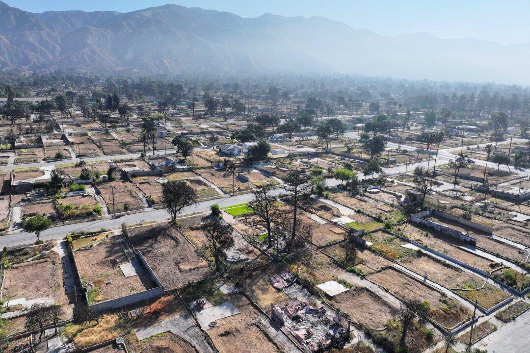
LOS ANGELES—A windstorm that forecasters described as potentially destructive and life-threatening will develop across the Southland Tuesday morning, dramatically raising the risk of wildfires for the next several days.
Authorities advised those living near the foothills and mountains to be prepared to evacuate in the event of a fire.
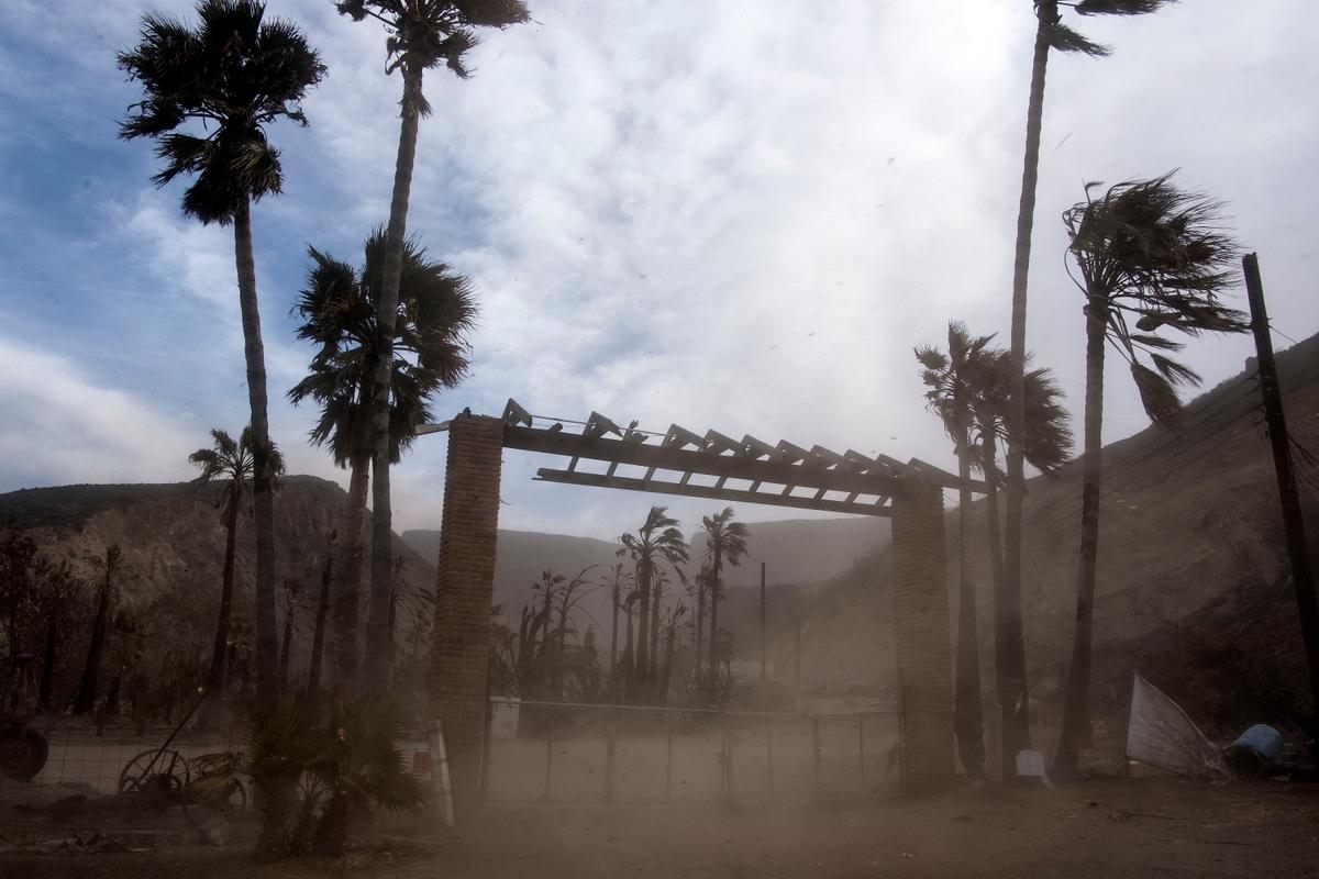
“Residents across Southern California are urged to remain vigilant and monitor the latest forecasts,” the National Weather Service advised. “There is high confidence in strong offshore winds with the potential to be the strongest wind event of the season, especially for the Southland valleys. Trees, large tree branches, and power lines may be downed by the wind.”
Red flag warnings of critical fire danger will take effect at 4 a.m. Tuesday and remain in place until 6 p.m. Thursday for the Malibu coast, the Santa Monica Mountains Recreational Area, the San Gabriel Valley, the San Fernando Valley, and others.
At 4 p.m. Tuesday, the warning will extend to include Los Angeles County beaches, the Palos Verdes Hills, and the inland Los Angeles County coast, stretching into downtown Los Angeles.
“Confidence is high for a life threatening, destructive, widespread windstorm Tuesday afternoon through Wednesday morning,” according to a statement from the National Weather Service (NWS).
“With widespread damaging winds likely from Tuesday afternoon into Wednesday across portions of Los Angeles and Ventura counties, there will be a high risk for downed trees and power lines, as well as power outages.
“There is a high probability of strong mountain wave wind conditions during the peak of the event Tuesday afternoon into Wednesday morning, which will likely bring strong/damaging winds to areas that typically do not see strong winds, including portions of the San Gabriel Valley and San Fernando Valley, LA Basin, and Simi Valley.”
According to the NWS, Santa Ana winds could gust at speeds of 60 to 80 mph—with some ridgetops seeing gusts topping 90 mph—in western L.A. County valleys, the Santa Monica Mountains and into Malibu.
Forecasters warned particularly of the possibility of “breaking mountain waves.”
“These occur when very strong winds aloft intercept mountain tops at nearly perpendicular angles which will happen with these events,” according to the NWS. “These short lived and very difficult to predict events can cause considerable local damage wherever they occur. The most likely areas for this phenomena are the eastern San Fernando Valley and the northern San Gabriel Valley.”
Humidity levels are also expected to drop, most notably on Wednesday, creating dry conditions that could amplify the fire danger.
Forecasters said that despite the Santa Ana winds, temperatures across the region could fall by 5 to 10 degrees on Tuesday due to the amount of cold air accompanying the system. But the temperatures will bounce back on Wednesday, recovering those 5 to 10 degrees.
Due to the elevated fire danger, Caltrans will close Topanga Canyon Boulevard between Mulholland Drive and Pacific Coast Highway from 10 a.m. Tuesday through 6 p.m. Friday. Only residents and local business traffic will be permitted into the canyon during the closure.
As is standard during high-fire-danger conditions. Southern California Edison customers in some areas could have their power turned off under the utility’s Public Safety Power Shutoffs program. The program is designed to de-energize power lines that could potentially be damaged and spark a wildfire during red flag conditions. According to SCE’s website, more than 70,000 customers in Los Angeles County and more than 9,400 in Orange County are under consideration for power shutoffs during the upcoming wind event.