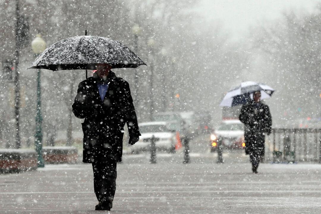
Some weather experts say a polar vortex disruption could hit the United States and Canada by the end of this month or in January, bringing with it exceptionally low temperatures and unusual weather.
Just how bad the weather will get depends on the behavior of a patch of air about 60,000 feet above the earth’s arctic surface, known as a polar vortex.
A disrupted polar vortex happens when the stratosphere suddenly warms, causing a ripple effect in the air mass—with winds shifting, changing direction, and otherwise behaving erratically.
As the vortex splits and is displaced, cold air spills out of its arctic confines and downward into lower latitudes.
A stable polar vortex, on the other hand, would bring an unexceptional winter with the usual cold snaps, snowstorms, and thaws.
‘Significant Polar Vortex Disruption’
Cohen wrote in a tweet, “Confidence is growing in a significant polar vortex disruption in the coming weeks. This could be the single most important determinant of the weather this winter across the Northern Hemisphere.”Cohen wrote that, according to the weather model he used, the polar vortex appeared unusually wavy.
“Deep troughing/negative geopotential height anomalies across Alaska and the Gulf of Alaska are forcing downstream ridging/positive geopotential height anomalies across much of North America,” he stated. “This is predicted to result in normal to below normal temperatures in Alaska with normal to above normal temperatures for much of Canada and the U.S. Lower 48.”
Cohen said of the Arctic Oscillation analysis: “This analysis is intended to provide researchers and practitioners real-time insights on one of North America’s and Europe’s leading drivers for extreme and persistent temperature patterns.”
Last year a vortex that originated in Eurasia swept eastern North America, causing windstorms that lasted weeks.
‘Reason to Be Cautious’
Yet weather models are notoriously unreliable, and what can be counted on is that forecasters’ predictions differ.Amy Butler, a scientist at the National Oceanic and Atmospheric Administration (NOAA), wrote on Twitter: “[N]ot all other models on board yet so still reason to be cautious.”
“We expect El Niño to be in place in late fall to early winter,” said Mike Halpert, deputy director of NOAA’s Climate Prediction Center. “Although a weak El Niño is expected, it may still influence the winter season by bringing wetter conditions across the Southern United States, and warmer, drier conditions to parts of the North.”
“El Niño is an ocean-atmosphere climate interaction that is linked to periodic warming in sea surface temperatures in the central and eastern equatorial Pacific,” the NOAA explains.
Still, while the National Weather Service (NWS) said that no place in the United States is expected to be colder than normal, it admitted that arctic oscillation and polar vortex disruption could yet bring a surprise.
“The Arctic Oscillation influences the number of Arctic air masses that penetrate into the South and could result in below-average temperatures in the eastern part of the U.S.,” the NWS said.
The NOAA predicts winter 2018 temperatures as follows:
“Warmer-than-normal conditions are anticipated across much of the northern and western U.S., with the greatest likelihood in Alaska and from the Pacific Northwest to the Northern Plains.
“The Southeast, Tennessee Valley, Ohio Valley, and mid-Atlantic all have equal chances for below-, near- or above-average temperatures. No part of the U.S. is favored to have below-average temperatures.”
“The country as a whole has been quite mild since 2014–2015,” Halpert said.