Record hot ocean temperatures and a tardy El Nino are doubling the chances of a nasty Atlantic hurricane season this summer and fall, the National Oceanic and Atmospheric Administration said Thursday.
With the Atlantic hurricane season already well above normal so far, NOAA increased how many storms to expect and how busy the season can get. The agency says there’s a 60 percent chance for an above normal hurricane season, twice the agency’s May forecast which said it was 30 percent. The earlier forecast leaned more toward a near normal season with a 40 percent, but the chance for normal has now shrunk to 25 percent.
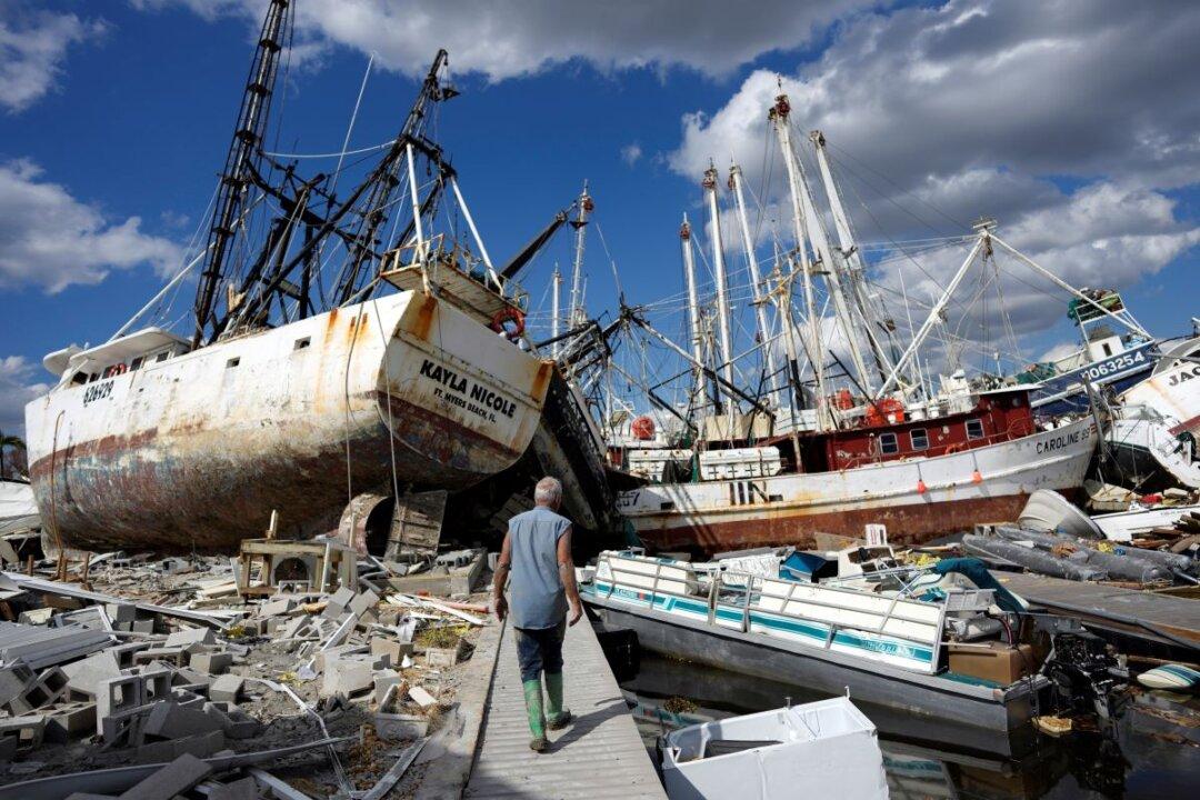
Although the NOAA outlook doesn’t forecast storm tracks or what places will get hit, a busy season like the one forecast means “there is a doubling of the chance of a hurricane making landfall on the East Coast of the U.S.,” said Matthew Rosencrans, lead hurricane season forecaster with NOAA’s Climate Prediction Center.
NOAA is now forecasting between 14 to 21 named storms, which is an increase over forecasters’ initial May forecast of 12 to 17. A normal year has 14 named storms.
Of those named storms, NOAA predicts six to 11 will become hurricanes, which is more than the five to nine predicted in May. Normal is seven hurricanes. Of those hurricanes, NOAA predicts two to five will become major hurricanes with winds of more than 110 mph, which is one more than earlier predictions. A normal year sees three major hurricanes.
A key measurement called Accumulated Cyclone Energy—which takes into account number of storms, how strong they are and how long they last—is forecast to be double the normal for a year, NOAA said.
Other groups making hurricane season predictions have also increased what is to be expected. Colorado State University increased its forecast for named storms from 13 in April to 18 now and from six hurricanes in the April forecast to nine now.
The forecast itself shouldn’t scare residents, but “people should worry and prepare for the storms this forecast implies,” Mr. Rosencrans said.
Already there have been five named storms: Arlene, Bret, Cindy, Don, and an unnamed January storm that got upgraded to name status with the name “unnamed.” Normally there’s only two named storms by this time of year, Mr. Rosencrans said. That was one factor in increasing the forecast, he said.
The continued record warm temperatures in the North Atlantic is a key factor in increasing the prediction because it is hotter and lasted longer than initially expected, Mr. Rosencrans said. The water temperatures in the main storm development region—an area between the western tip of Africa and the Caribbean—is 2.2 degrees (1.2 Celsius) above normal and the hottest since records started in 1950, he said.
Hot water is fuel for hurricanes, with the storms sucking up the heat energy from the water just like a person drinks water from a straw. The storm gets more humid, moist, and stronger.
Another factor is “ the impacts of El Nino have been slower to emerge over the Atlantic,” Mr. Rosencrans said. El Nino, a natural warming of the central Pacific that changes weather worldwide, usually reduces storm activity because its crosswinds and sinking air tends to choke off storms. But even though El Nino is going strong in the Pacific, its effects in the Gulf of Mexico and Atlantic aren’t showing up yet.
Earlier this year meteorologists saw this hurricane season as a showdown in strength between the record hot water that increases storm activity and the dampening power of El Nino.
The hot water is winning, said University of Miami hurricane researcher Brian McNoldy, who said NOAA’s forecast makes sense.