The growing fire hazard areas show how much more the state has become susceptible to severe fires in the past 15 years.
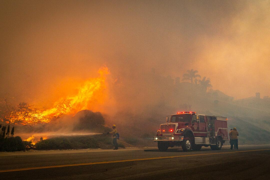
Cal Fire, the fire department of the state’s Natural Resources Agency, issued the proposed Fire Hazard Severity Zone map this month. The new map only covers about 31 million acres of state-managed land and ranks areas likely to experience a wildfire as “very high,” “high,” or “moderate” hazard zones. The map does not include lands overseen by the U.S. Forest Service or local governments.
According to the Office of the State Fire Marshal, nearly 17 million acres will fall under the highest ranking of fire hazard.
The map will be open for public review and comments until Feb. 3.
Retired Cal Fire Forestry and Fire Protection Administrator Kevin Olson, of Sacramento, told The Epoch Times he wasn’t surprised in the increase of fire hazard areas.
“The high designation is based on the type of fuels in the area, and the slope, and a little bit of fire history,” Olson said. “It really didn’t surprise me with the increase of the designation because we are seeing larger and bigger fires now, based on the way the climate’s changing and the increase of the fuels.”
The state hasn’t treated fire fuels—the dead grasses, shrubs, trees, dead leaves, and fallen pine needles on the forest floors—in years, Olson said. As the fuels grow, the percentage of dead fuel becomes greater and much more volatile, he added.
Olson participated in developing the state’s first severity zone map in 2007.
The biggest increases in “very high” hazard areas were seen in Colusa County, which had nearly 53 percent more land in the higher category since 2007.
In Los Angeles County, the new map shows a 14-percent increase, designating 93 percent of its 496,000 acres of state-managed land as a “very high” hazard area.
Orange County, with 106,200 acres of state-managed land, had nearly 97 percent of it—or nearly 103,000 acres—fall into the “very high” category.
Nine people have died in wildfires throughout California in the 2022 fire season, according to Cal Fire. Firefighters with Cal Fire and the U.S. Forest Service recorded 7,641 fires in the state that burned 363,917 acres.
In 2021, the state experienced several large fires, including the lightning-caused August Complex Fire that burned 1.03 million acres and 935 structures in Mendocino and Humboldt counties. Also that year, the human-caused Caldor Fire in central California burned 222,000 acres and destroyed 1,005 structures in Alpine, Amador, and El Dorado counties, and threatened homes in South Lake Tahoe.
The proposed new fire map assessed fire hazard scores by considering fire history, existing and potential natural vegetation, flame length, blowing embers terrain, and weather in the area.
Once approved, the map can be used as a tool by local communities to determine where regulations apply for safe community growth and development, fire officials said.
The map is also used by fire insurance regulators to determine how much insurance homeowners will need to live in each designated area.