A 5.6 magnitude earthquake struck 3.1 miles (5 kilometers) south-southwest of the small community of Petrolia in northern California on Saturday evening, June 22, according to the U.S. Geological Survey.
The tremor struck at 8:53 p.m. local time and was estimated to have a depth of 5.8 miles (9.4 km).
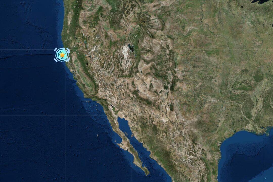
Lostcoastoutpost.com reported a simultaneous 5.4 magnitude earthquake directly to the south off the coast of the King Range National Conservation Area. That tremor had an estimated depth of 4.3 miles, according to the Humboldt County local news website.
One local commented on the site that the quake could be felt for a “solid ten seconds” and another said they felt a “pretty good shake in McKinleyville.”
In Petrolia, one local commented that the quake was a “good one.”
“We counted 25 seconds of varied shaking. We took no action and stayed on the couch. The pup jumped off. No damage noted.
“It was like a toboggan ride,” they added.
There was no immediate report of damage or casualties.
No tsunami threat was reported.
Petrolia, in Humboldt County, has an estimated population of a few hundred people, and is located 253 miles north of San Francisco in a wilderness area that experiences frequent earthquake activity.
Additional reporting by Epoch Times staff.