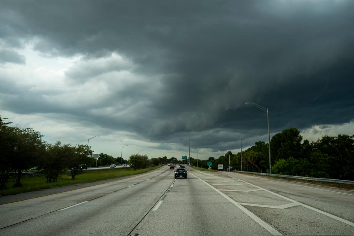
Federal officials said in a recent update on Tuesday that Hurricane Ian is expected to make landfall earlier than previously expected.
“Ian is moving toward the north near 10 mph, and this motion is expected to continue today,” the update said. “A turn toward the north-northeast with a reduction in forward speed is forecast tonight and Wednesday.”
Storm Surge
Landfall is expected late afternoon on Wednesday between the Tampa and Fort Myers areas, according to an NHC model. The timing, track, and intensity of the storm could change.The NHC model shows that the hurricane is tracking slightly to the south of what was previously forecast. Storm surge for Venice, Punta Gorda, and Fort Myers will be 8 to 12 feet, and Tampa will see 5 to 8 feet.
Federal Emergency Management Agency Administrator (FEMA) Deanne Criswell warned on Tuesday that “Floridians are going to experience the impacts from the storm for a very long time.”
Florida Gov. Ron DeSantis said an estimated 2.5 million people were under evacuation orders. He urged people to prepare for power outages, and to get out of the storm’s path.
“When you have five to 10 feet of storm surge, that is not something you want to be a part of,” DeSantis said Tuesday. “And Mother Nature is a very fearsome adversary.”
The hurricane center expanded its hurricane warning to include Bonita Beach north through Tampa Bay to the Anclote River. Fort Myers is in the hurricane zone, and Tampa and St. Petersburg could get their first direct hit by a major hurricane since 1921.
President Joe Biden also declared an emergency, authorizing the Department of Homeland Security and the Federal Emergency Management Agency to coordinate disaster relief and provide assistance to protect lives and property. FEMA has strategically positioned generators, millions of meals and millions of liters of water, White House press secretary Karine Jean-Pierre said.