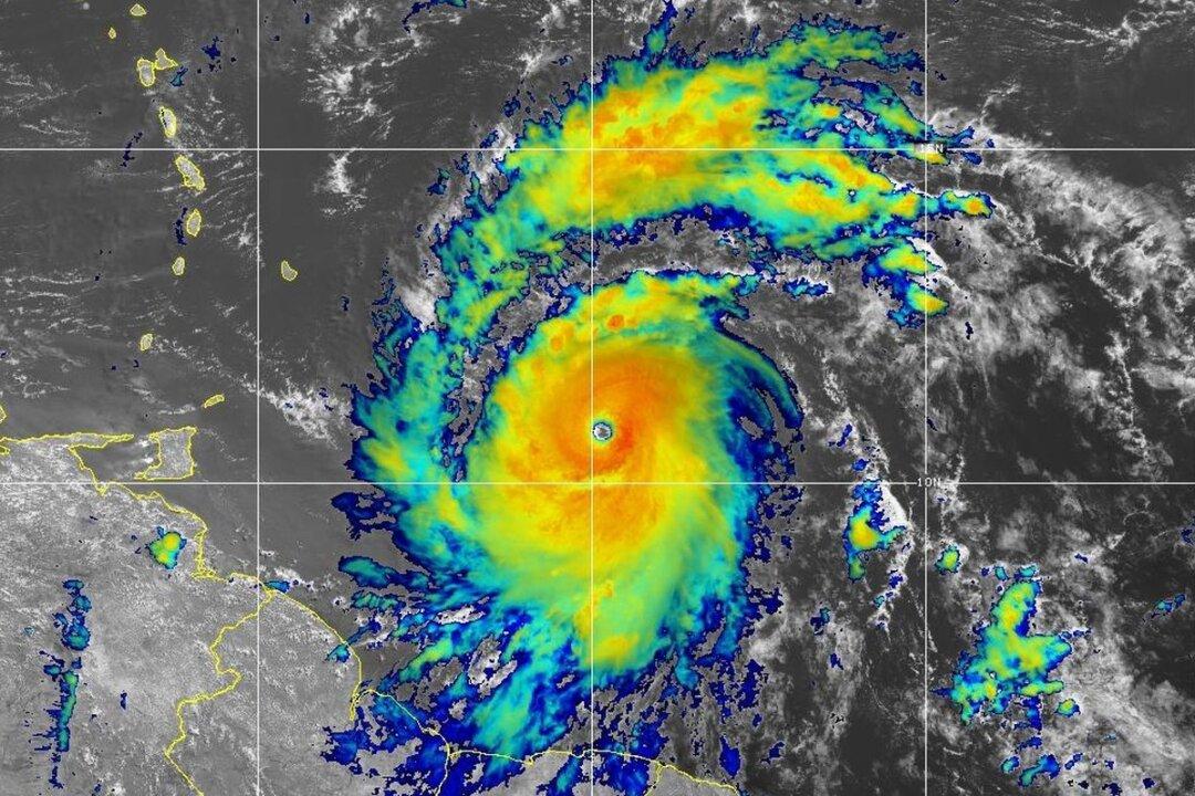
Hurricane Beryl strengthened into a Category 5 storm with 160 mph winds on the morning of July 2, according to an update from federal forecasters.
“Additional weakening is expected thereafter, though Beryl is forecast to remain a hurricane in the northwestern Caribbean,” it added. After hitting Jamaica, the center of the storm will likely approach Mexico’s Yucatan Peninsula by July 4.
A hurricane warning was in effect for Jamaica and a hurricane watch for Grand Cayman, Little Cayman, Cayman Brac, and Haiti’s entire southern coast.
The center said Beryl was expected to bring life-threatening winds and storm surge to Jamaica, where officials warned residents in flood-prone areas to prepare for evacuation.
“I am encouraging all Jamaicans to take the hurricane as a serious threat,” Jamaican Prime Minister Andrew Holness said in a public address late on July 1. “It is, however, not a time to panic.”
In Miami, National Hurricane Center Director Michael Brennan said Jamaica appears to be in the direct path of Beryl.
“We are most concerned about Jamaica, where we are expecting the core of a major hurricane to pass near or over the island,” he said in an online briefing.
“You want to be in a safe place where you can ride out the storm by nightfall Tuesday. Be prepared to stay in that location through Wednesday.”
Storm surges of five to eight feet above typical tide levels are likely in Jamaica, as well as heavy rainfall, according to the NHC.
On July 1, the U.S. Embassy in Jamaica sent a “weather alert” to Americans who are traveling in the country, advising U.S. citizens to follow local media reports, weather warnings, and more.
“We have reports of extensive storm surge, reports of extensive loss of roofs and damage to buildings and there is no electricity on any of the islands and communication is also difficult,” Mr. Mitchell told local media.
After Beryl passes through Jamaica, it’s expected to hit a broad swath of Mexico’s Yucatan Peninsula and weaken into a tropical storm, according to the NHC’s modeling.
The storm could miss the Yucatan Peninsula entirely and instead hit a section of Mexico’s eastern coast or possibly southern Texas or Louisiana.
The U.S. National Oceanic and Atmospheric Administration predicted in May that there would be above-normal hurricane activity in the Atlantic this year. Federal forecasters say that for 2024, they expect 17 to 25 named storms, with 13 hurricanes and four major hurricanes that are Category 3 or greater.
An average Atlantic hurricane season produces 14 named storms, which include hurricanes and tropical storms.
The hurricane season started on June 1 and will last until Nov. 30.