Halloween Weather Could Prove Frightful for Trick-or-Treaters

Halloween Weather Could Prove Frightful for Trick-or-Treaters
Port Jervis Halloween Parade participants walking up Pike Street in Port Jervis on Oct. 25, 2015. Holly Kellum/Epoch Times
Alan McDonnell
Updated:
This year’s Halloween festival looks likely to be dampened by wet and stormy weather in the eastern part of the U.S., while the first snowfall of the season could hit the Midwest. Further west, however, the National Weather Service (NWS) said that wildfire conditions look set to remain in California until the weekend.

The NWS forecast that warmer, wetter weather will prevail on Thursday afternoon and evening, putting something of a dampener on trick-or-treating. Over one inch of rain can be expected on Thursday in parts of Pennsylvania. The bigger cities in the northeast look set to escape the worst of the rain, though Thursday will remain wet and dreary through the day and into the evening.

Precipitation forecast for the eastern United States for Halloween on Thursday, Oct. 31 between 14:00 and 20:00 hrs. (Image: National Weather Service)
Precipitation forecast for the eastern United States for Halloween on Thursday, Oct. 31 between 14:00 and 20:00 hrs. Image: National Weather Service
Meanwhile, a strengthening storm system moving down from Canada will bring a blast of cold arctic air to the northern Rocky Mountains and across the Plains on Tuesday and Wednesday. Over 800 flights had been cancelled or delayed at Denver International Airport by Tuesday evening. Up to a foot of snow may still fall in some areas of Colorado, while some parts of the Midwest could see up to 6 inches of snow by Halloween.

Strong winds from a northwesterly direction picked up through Tuesday, with the wind chill factor leading to temperatures as low as minus 25 degrees in places. Those winds will mean bitterly cold weather for trick-or-treaters across the Midwest and into the Rockies.

Further west, according to the NWS,  “Critical-to-extreme fire weather conditions are expected to linger into Friday across portions of California.” However, the warmer weather there looks set to cool down substantially toward the end of the week. A Special Weather Statement notes that cold, dry winds are expected to push inland from the San Francisco Bay area, with the coldest temperatures on Wednesday night and Thursday morning, but possibly extending into the weekend.

According to the Statement, “Vulnerable populations without access to heat or proper shelter are at the highest risk of the cold. This includes those who have been recently impacted by the wildfires across the region who may have been forced to evacuate their homes.” The NWS urges those who need shelter to contact their local officials. “Cold nights have taken lives in our area in the past—so please seek warmth and shelter if you feel you are not adequately prepared for these conditions.”

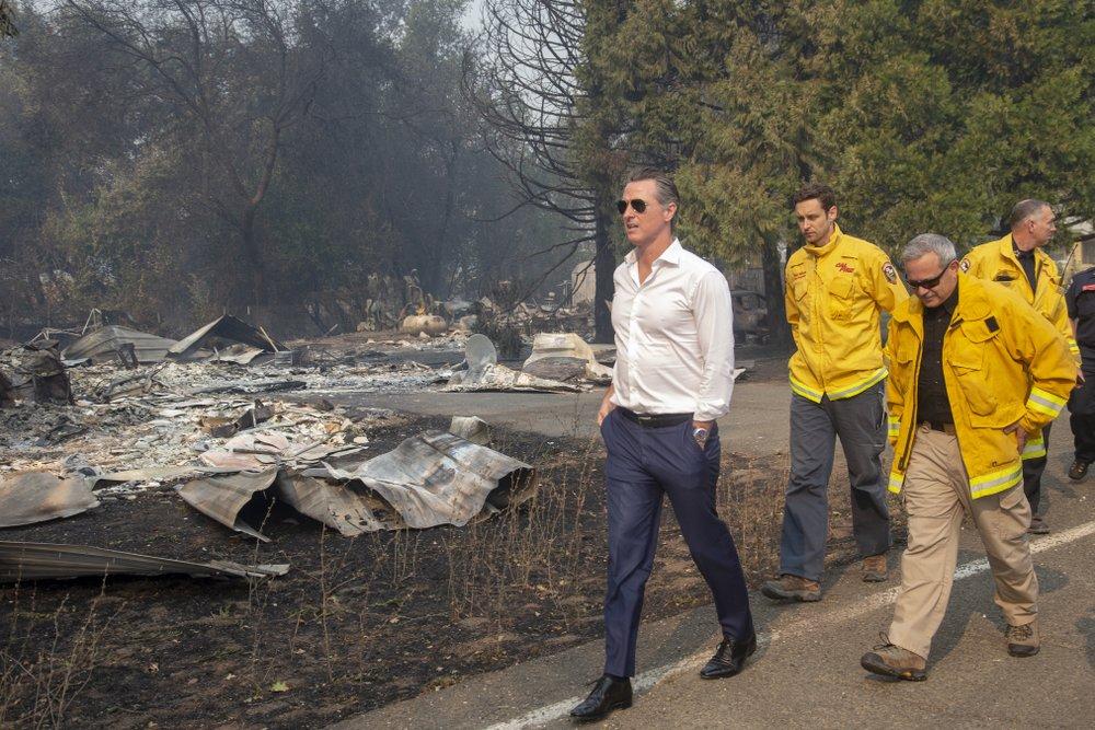
The weather statement comes as warm winds fanned forest fires, causing the Governor of California to declare a statewide emergency.