Impacts include river floods, debris flows, and mudslides near “recent burn scar areas,” the agency said on its website. The storm will also produce heavy snow in the Sierra Nevada mountains.
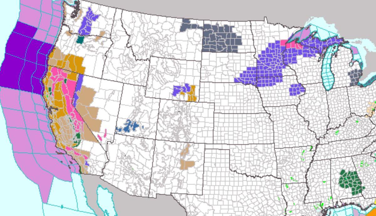
This week, the National Weather Service office in San Francisco warned that the coming storm is “truly” a “brutal system” that should “be taken seriously.” It added: “This will likely be one of the most impactful systems on a widespread scale that this meteorologist has seen in a long while.”
Weather “impacts will include widespread flooding, roads washing out, hillside collapsing, trees down (potentially full groves), widespread power outages, immediate disruption to commerce and the worst of all, likely loss of human life,” it said.
“There is a significant risk for flash flooding, and people should watch for and avoid rapidly rising water which can quickly become life-threatening,” AccuWeather Chief Meteorologist Jon Porter said in a report. “This will be a dangerous and high-impact storm for California, capable of producing life-threatening conditions and significant disruption which may last several days.”
Porter added that “not only will this storm be intense tapping into a substantial atmospheric river, but it is also arriving just days after the previous storm brought heavy rainfall and created significant flooding, increasing the impacts and risks that can occur.”
Winds of 60 to 80 mph may also lash parts of the state, the Weather Service said.
Snowpack
Meanwhile, the snowpack covering California’s mountains is off to one of its best starts in 40 years, officials announced Tuesday, raising hopes that the drought-stricken state could soon see relief in the spring when the snow melts and begins to refill parched reservoirs.Roughly a third of California’s water each year comes from melted snow in the Sierra Nevada, a mountain range that covers the eastern part of the state. The state has built a complex system of canals and dams to capture that water and store it in huge reservoirs so it can be used the rest of the year when it doesn’t rain or snow.
Statewide, snowpack is at 174 percent of the historical average for this year, the third-best measurement in the past 40 years. Even more snow is expected later this week and over the weekend, giving officials hope for a wet winter the state so desperately needs.
In Southern California, forecasters said “all systems go” for a major storm to sweep over the area Wednesday and Thursday, with peak intensity occurring from midnight to noon Thursday.
The storms in California still aren’t enough to officially end the drought, now entering its fourth year. The U.S. Drought Monitor showed that most of the state is in severe to extreme drought.
“We know that it’ll take quite a bit of time and water to recover this amount of storage, which is why we don’t say that the drought is over once it starts raining,” said Jeanine Jones, drought manager for the California Department of Water Resources.