A recent cluster of bigger earthquakes hitting Southern California might have shaken residents but doesn’t necessarily serve as an indicator that a more destructive tremor could occur in the near future, according to one seismologist.
The Southern California region, known for its deadly quakes in the past, has had 13 earthquakes measuring 4.0 or greater in magnitude this year, according to Lucy Jones, a seismologist from the California Institute of Technology in Pasadena.
The same area has only had about five earthquakes per year of 4.0 magnitude or greater over the past 20 years, which is fewer on average compared to the last 90 years, Jones said on social media Aug. 13.
Since 1932, the region has recorded about 10 to 12 magnitude 4.0 quakes per year.
Does this mean a larger quake is on the horizon? Probably not, according to the expert.
The recent cluster of earthquakes doesn’t mean anything for larger earthquake potential, a spokesperson for Jones told to The Epoch Times in an email Aug. 14.
The latest larger earthquake in the area hit Highland Park, about 6 miles northeast of Los Angeles, at 12:20 p.m. Aug. 12 and could be felt around the region.
In Pasadena, close to its epicenter, a water line ruptured at Pasadena City Hall and water poured out of a pipe on the exterior of the building. Employees were temporarily evacuated.
The Highland Park earthquake appeared to come from a “shallowly dipping fault, like the 1987 Whittier Narrows [magnitude] 5.9 [earthquake],” Jones said.
The quake came less than a week after a 5.4-magnitude tremor that struck the Bakersfield area Aug. 6 and was felt across most of the state’s southern region.
And it was large enough to prompt Los Angeles County Supervisor Kathryn Barger to remind the public about earthquake preparedness.
“Today’s [earthquake] is a good reminder that we should practice lifesaving actions during an earthquake: drop, cover [and] hold on,” Barger posted on social media. “It’s also a reminder that we live in [earthquake country] so we need to be prepared.”
“There’s a very high probability—and our maps show it—for large earthquakes to occur in California,” Petersen told The Epoch Times at the time. “It could be in 100 years, or it could be 50 years.”
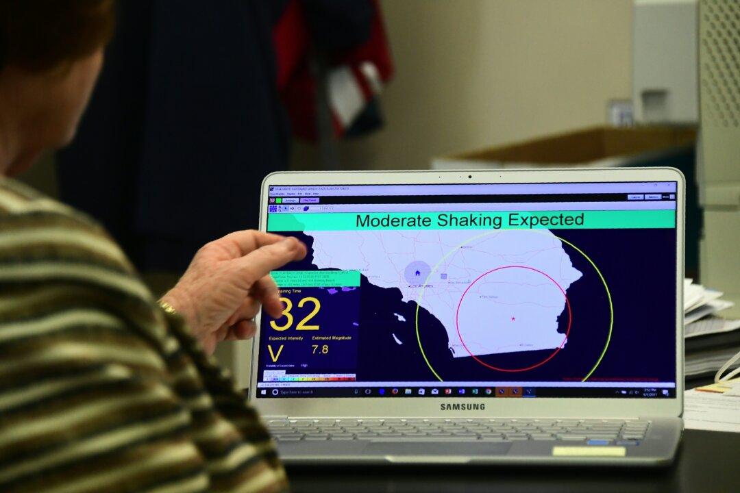
USGS has also developed a new capability to identify large earthquakes quickly using satellites to monitor earth-surface movement. From that, a ShakeAlert System was developed.
The system is used by agencies in California, Oregon, and Washington to send alerts to cell phones just prior to an earthquake. It also triggers automatic actions, such as slowing down trains to prevent derailments and opening firehouse doors so they don’t jam shut.
With newly-added Global Navigation Satellite System sensors, the system may alert residents faster and accurately determine the magnitude and area of shaking from larger earthquakes, according to the USGS.