Cooler temperatures arrive just in time for Halloween as the weekend brings potential for rainfall along southern portions of the west coast.
This weekend could bring the season’s first significant rains to portions of the southern California coast.
“There is potential for the first decent rainfall in portions of the coast and mountains and valley,” Dr. Robbie Munroe, a meteorologist for the National Weather Service Los Angeles office, told The Epoch Times.
“It’s pretty uncertain what it might bring to the table,” Munroe said. “There could be light showers and higher elevation snow showers and/or another round of gusty northwest to north winds.”
Currently, meteorologists have pretty low confidence in their models for the weekend, though they expect more certainty in the coming days.
Munroe says the weekend could even bring somewhat widespread rainfall. Half of the NWS’s models, however, put the storm further east where “it ends up being more of a wind event than precipitation like rain or snow.”
Halloween Week
Monday saw gusty west to north winds, prompting the NWS to put out wind advisories in the mountains, deserts, and some coastal areas of the southern California coast.This brought with it a chance of early morning drizzle in the foothills and mountains, which came to fruition in southern parts of the state early Monday morning.
A weak offshore flow is
expected to sweep through the region on Wednesday. From Tuesday to Thursday, a storm is forecast to bring very cold air behind the cold front.
Still, for most of the region, the most widespread weather will remain gusty northwest to north winds, which are anticipated to relent Tuesday morning.
Thursday should bring dry weather, as well as a weak onshore flow allowing the marine layer—low altitude stratus clouds or dense fog that forms over cold ocean waters—to establish itself along the coasts and coastal valleys, canceling out any temperature gains on Wednesday. Friday will resemble Thursday with onshore flow, and some coastal marine layer.
Marine Conditions
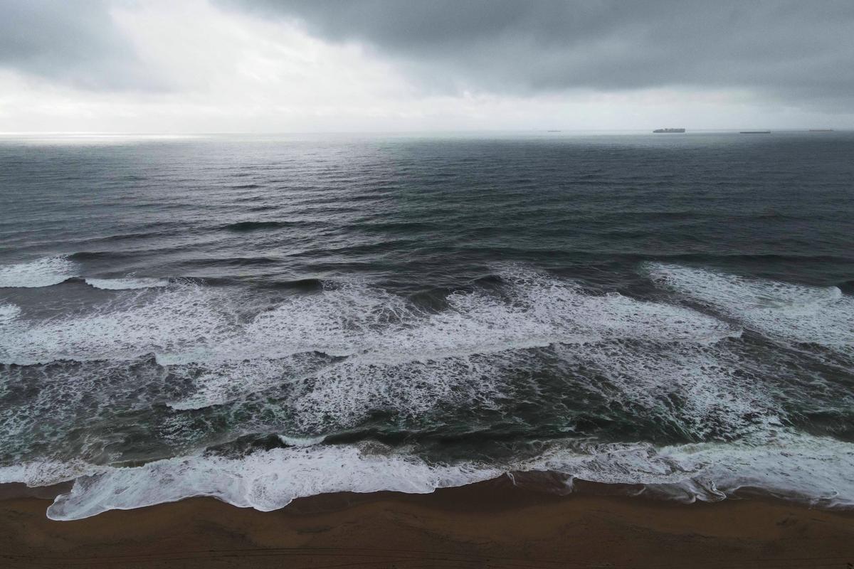
Seas are expected to be dangerous, including nearshore, through Tuesday. Mariners are implored to stay in safe harbor.A moderately large west to northwest swell and large wind waves brings with it the possibility of elevated surf on west and northwest facing beaches through Tuesday night.
Winter Outlook
So far, we have seen a relatively dry start to the fall season, though the wet season won’t begin until December. In the early winter, there is potential for a weak La Niña. That would mean above normal temperatures and below normal precipitation for southern California, in particular.