The Pacific Northwest has seen nearly a foot-and-a-half of rain and wind gusts over 90 mph in the past three days as an atmospheric river continues to bear down on Washington state, Oregon, and Northern California.
Several areas also recorded hurricane-force wind gusts, with gusts as high as 98 mph in Mattole Road, California, and 89 mph in Acorn Woman Peak Lookout in southern Oregon. Mount Rainier in Washington State recorded gusts of up to 77 mph.
Nearly two feet of snow was also reported, with 20 inches recorded in both Soda Springs, California, and Galane Blaine, Idaho, over the past three days. Twisp, Oregon, got more than 18 inches, and Donner Peak, California, saw 16 inches.
Wind gusts are expected to slowly diminish throughout the rest of Nov. 22. However, due to saturated ground, trees could topple, resulting in additional power outages.
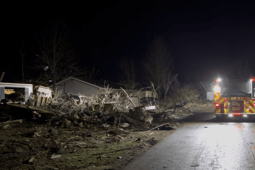
The bomb cyclone’s heavy rains and hurricane-force winds caused a loss of power for half a million people across Washington, California, and Nevada. In British Columbia, more than 320,000 Canadians lost power as well. As of Nov. 20, at least two persons had been killed by falling trees.
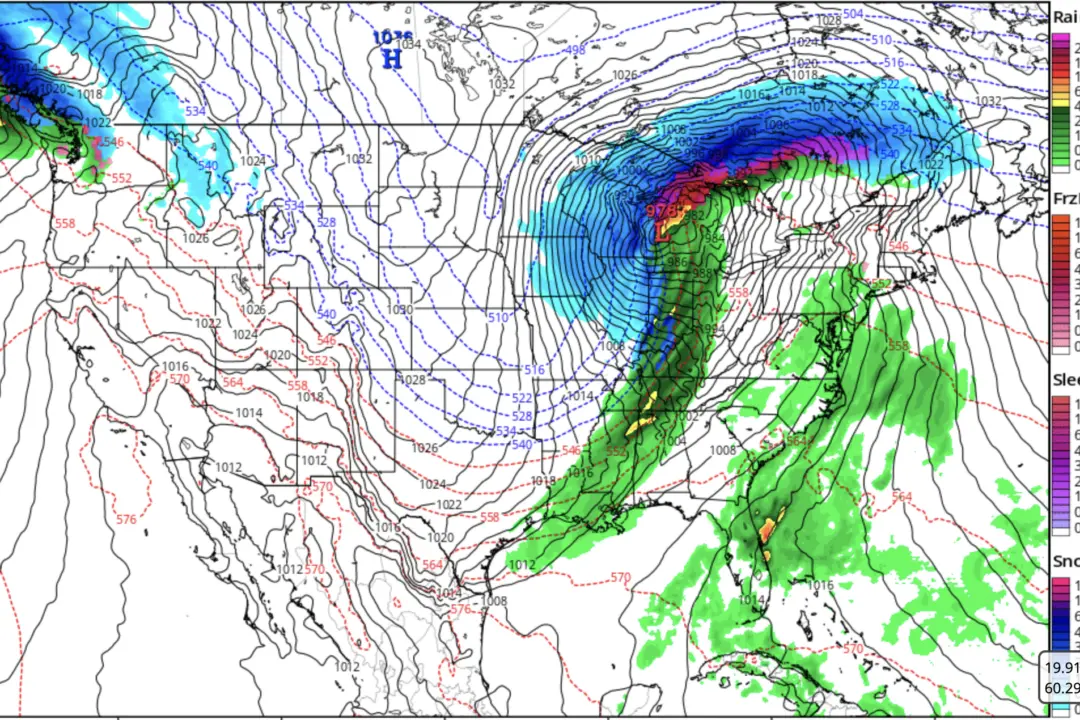
Meanwhile, blizzard and winter storm warnings continue to be in effect for the northeastern United States, the Midwest, and parts of Appalachia, according to the Weather Prediction Center. Several of these areas, including Chicago and Cleveland, experienced their first snowfall of the season.
Meteorological winter officially begins on Dec. 1.